  |
Bearsden & DistrictStrathblane to Lennoxtown |
  |
| |
Bearsden & DistrictStrathblane to Lennoxtown |
|
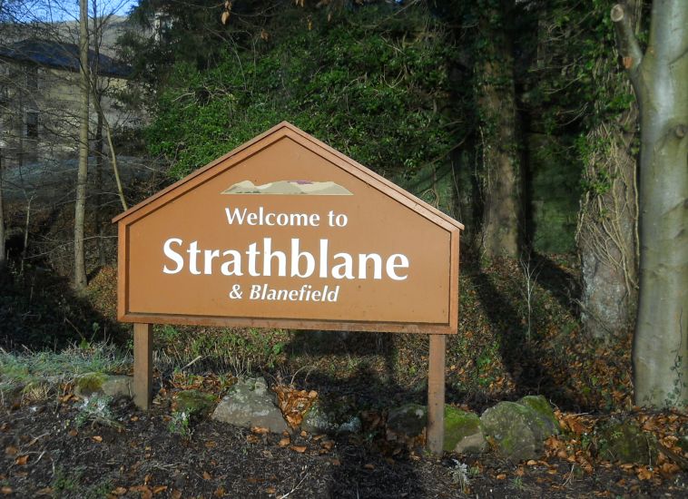 Signpost
at entry to Strathblane |
 |
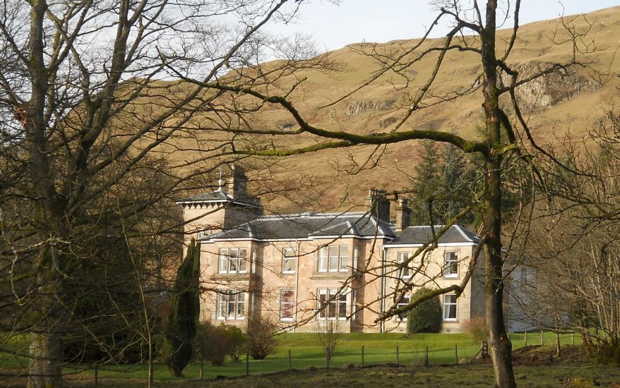
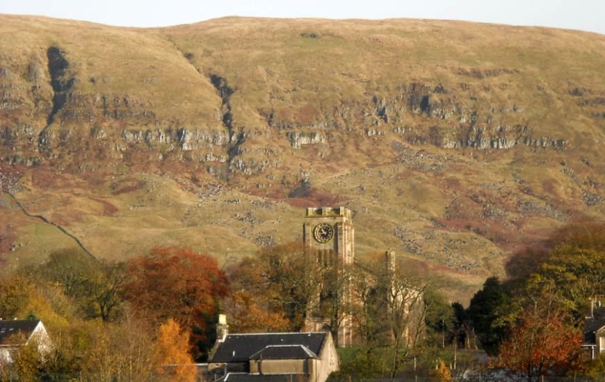
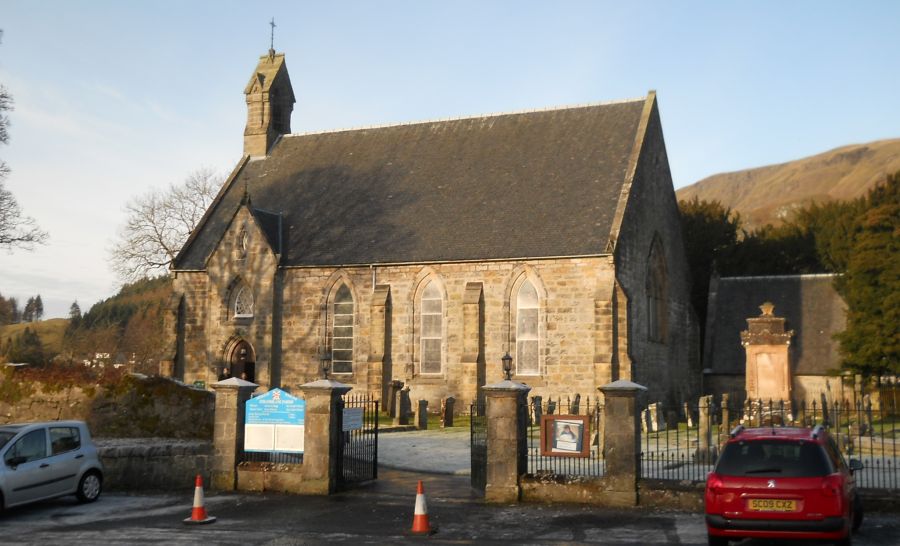 Strathblane
Parish Church ( built
1803 )
beneath the Campsie Fells |
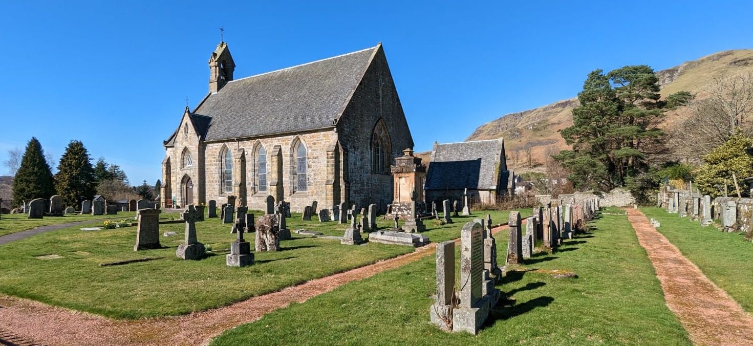 Strathblane
Parish Church ( built
1803 )
beneath the Campsie Fells |
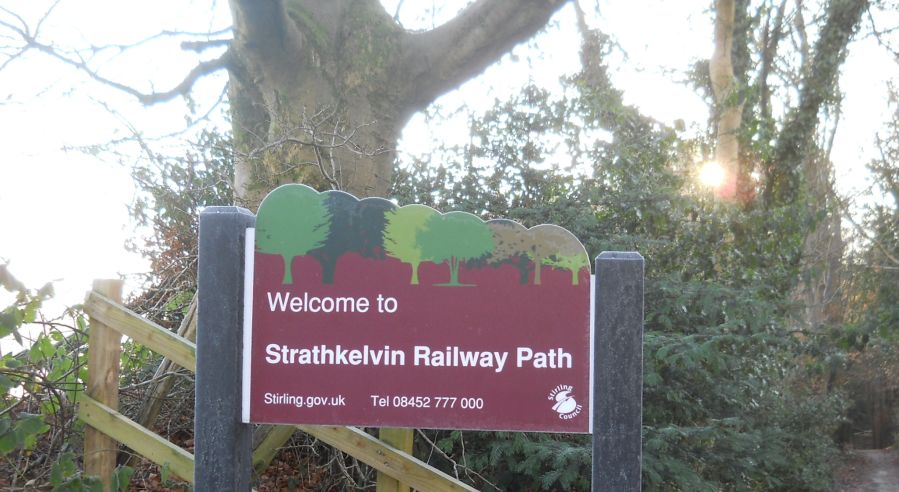 Signpost
at start of the Strathkelvin Railway Path in Strathblane ( opposite the Parish Church ) |
 |
 |
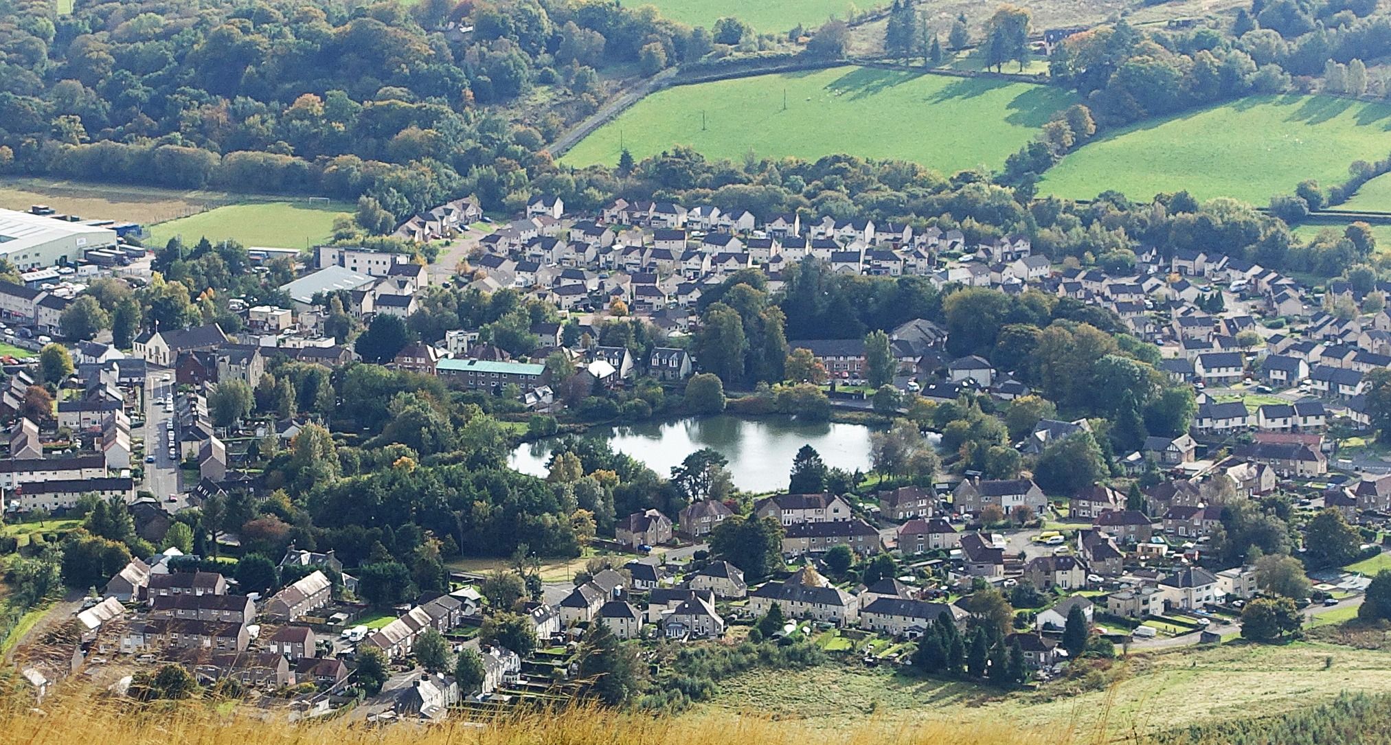
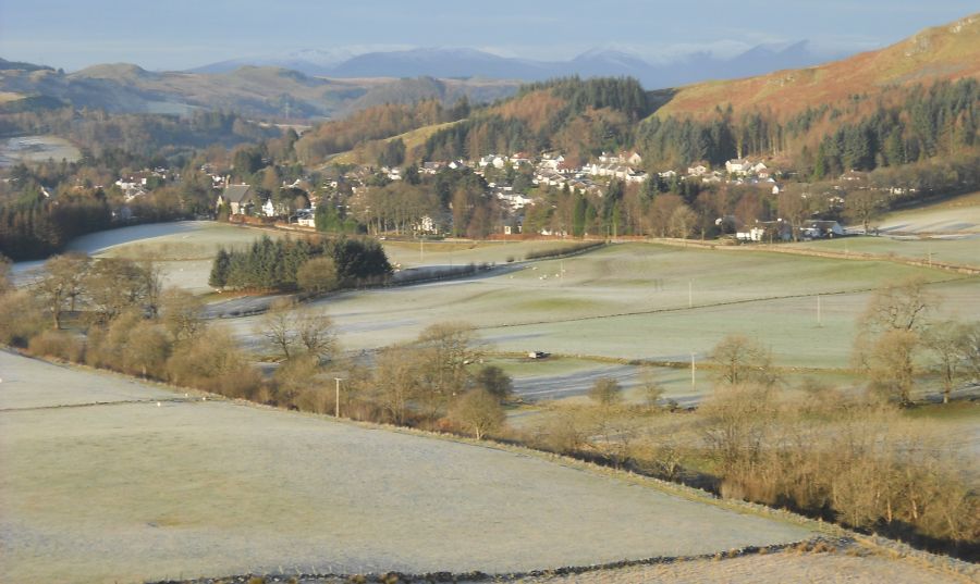 Strathblane
village
from Dunglass ( 501ft ) |
 |
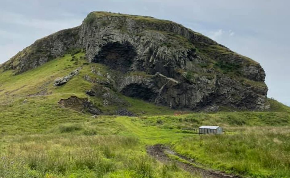
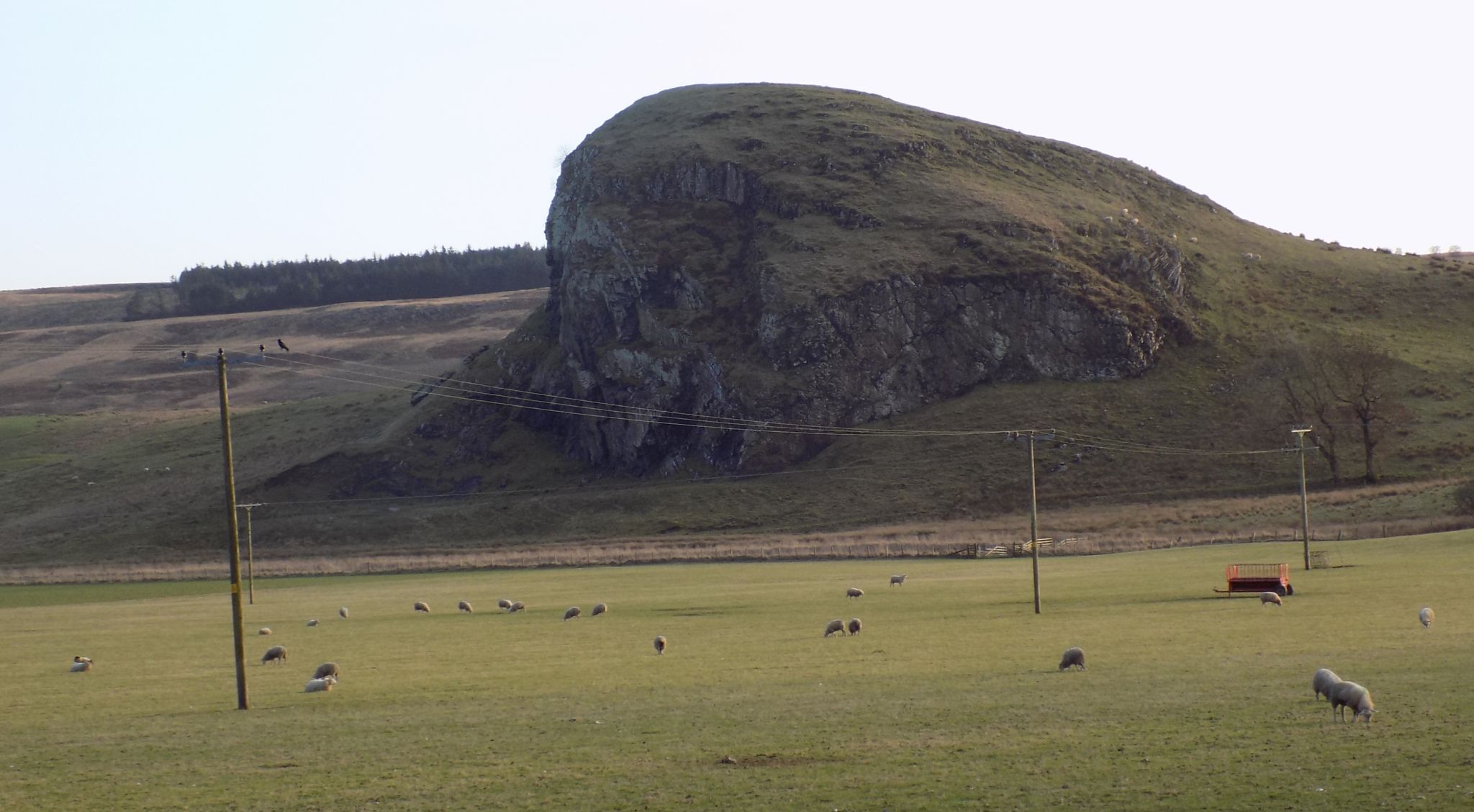
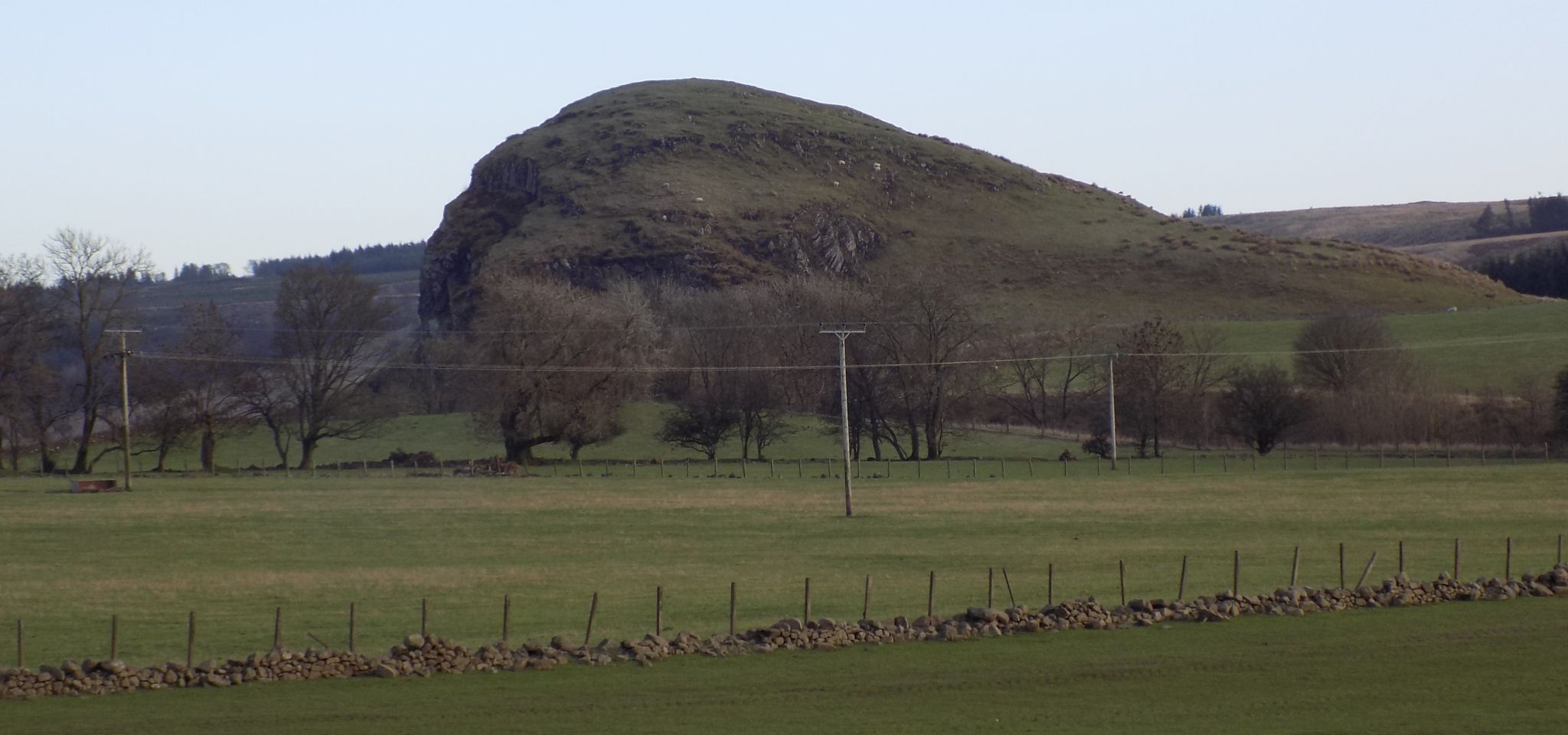
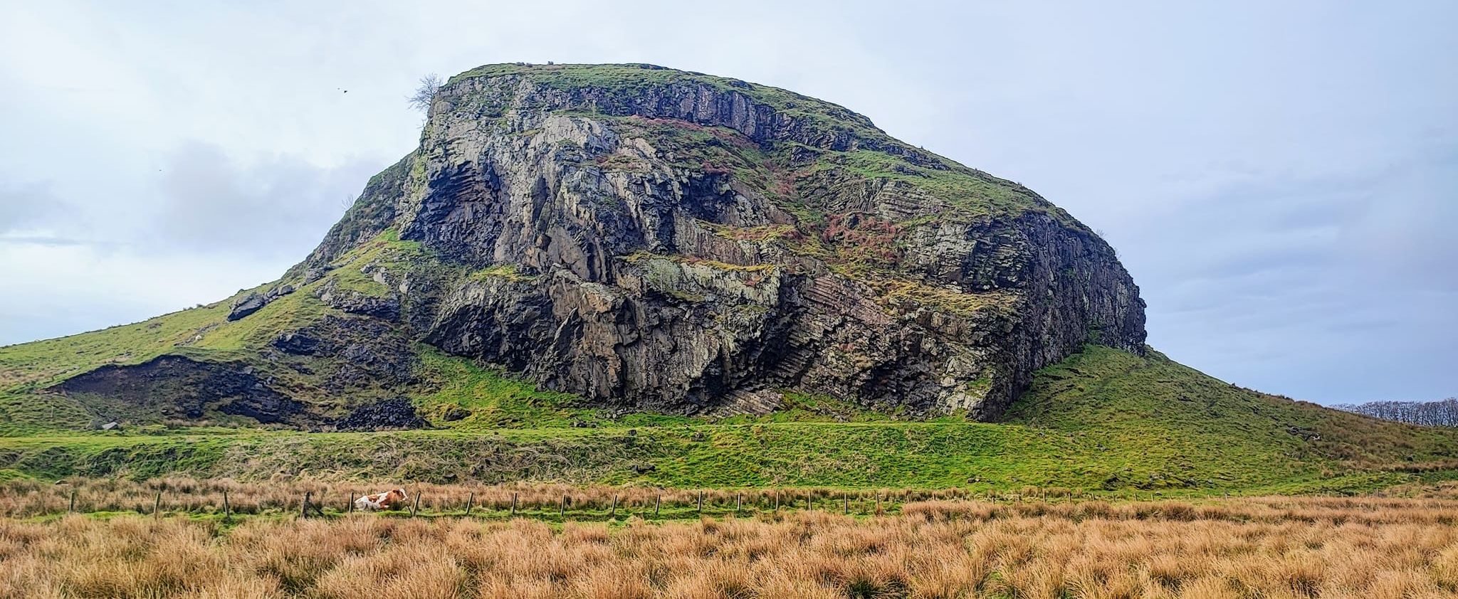
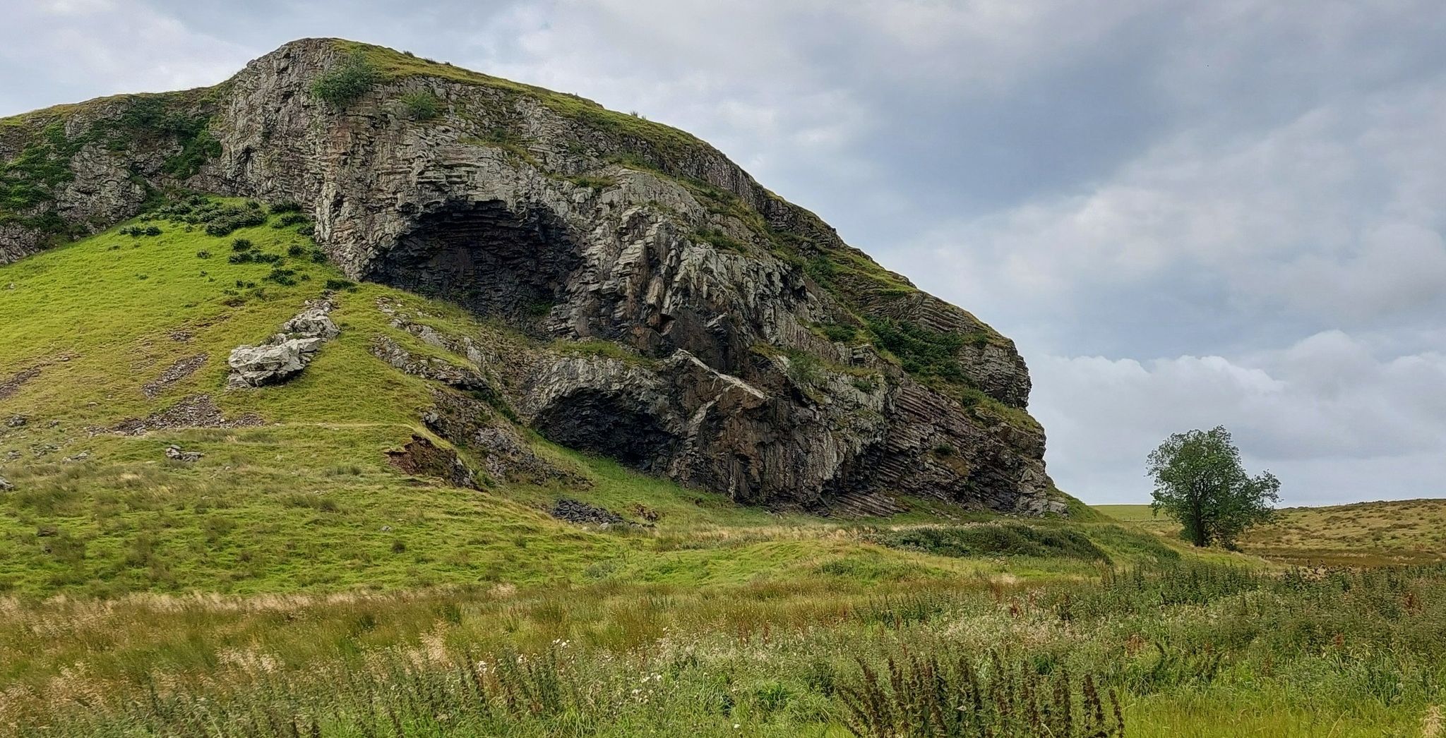
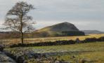
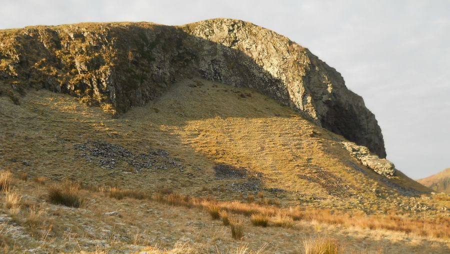 Cliffs
of Dunglass
The remains of an ancient volcanic plug with typical ‘crag and tail’ features left by glacial movement. The ‘crags’ on the north and east sides are formed by glaciers scouring the hard igneous rock, with the ‘tails’ on the south side formed by softer sediment on the leeward side of the crag. Columnar basalt forms, similar to those of the Giant's Causeway and Fingal's Cave are to be seen. |
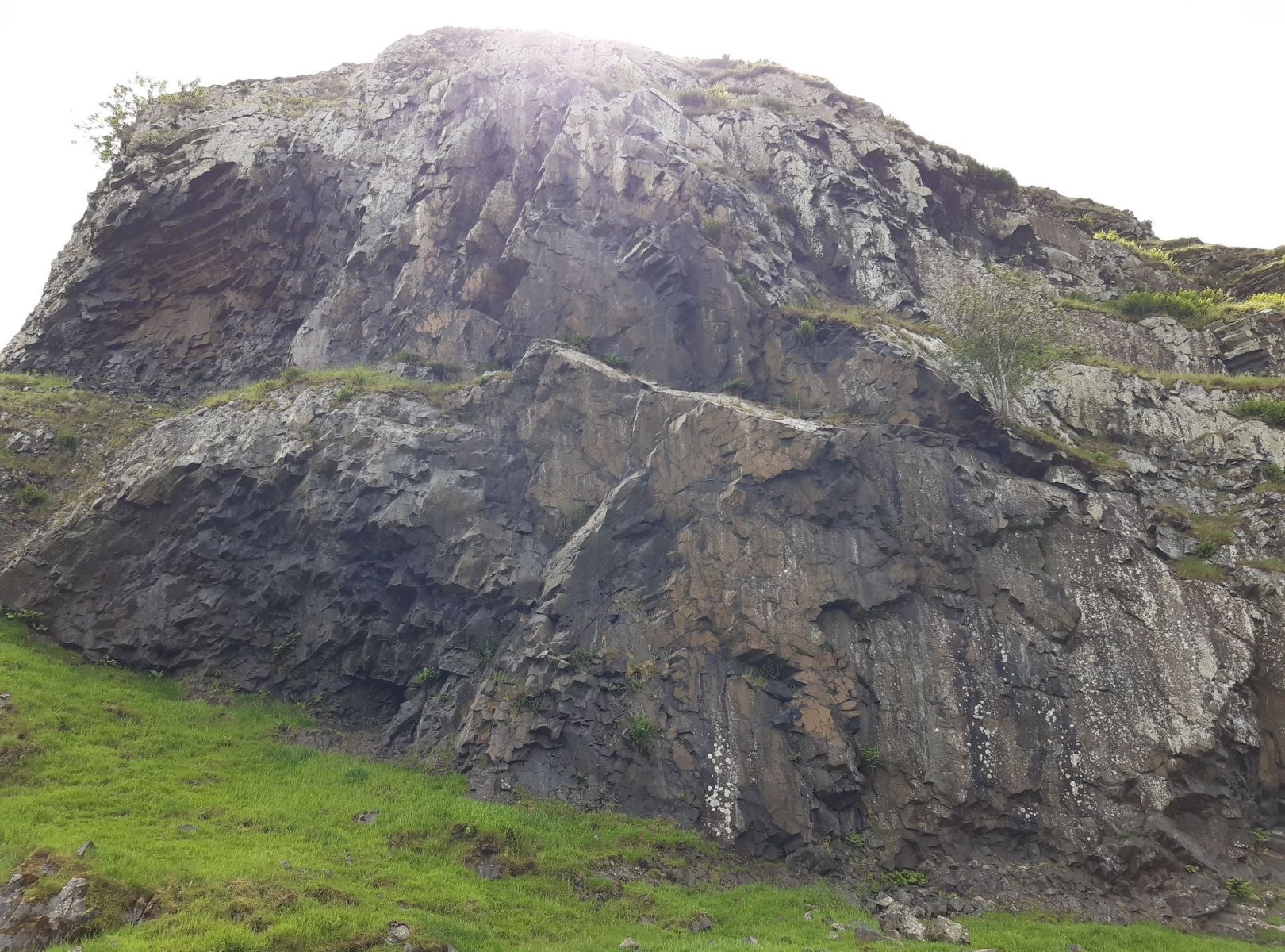 Rock
faces on Dunglass
|
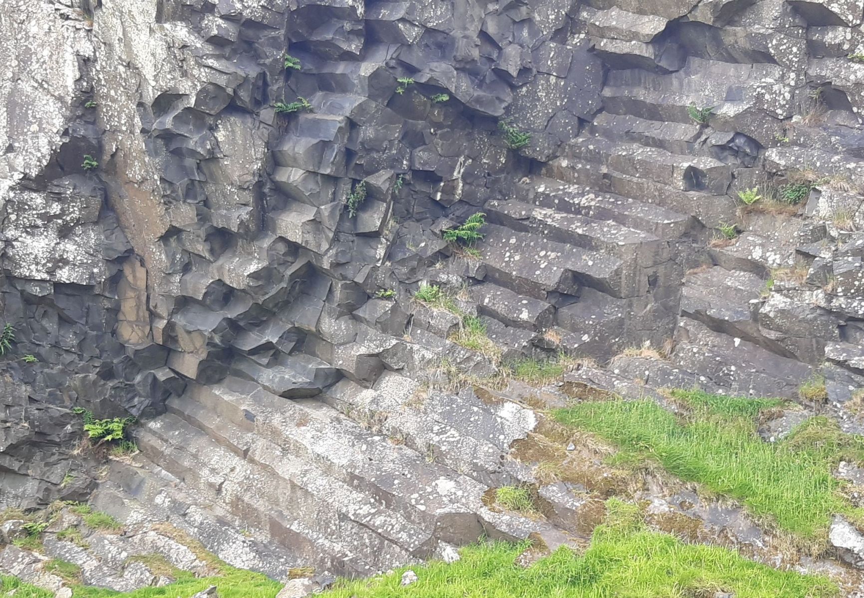 Rock
formations on Dunglass
|
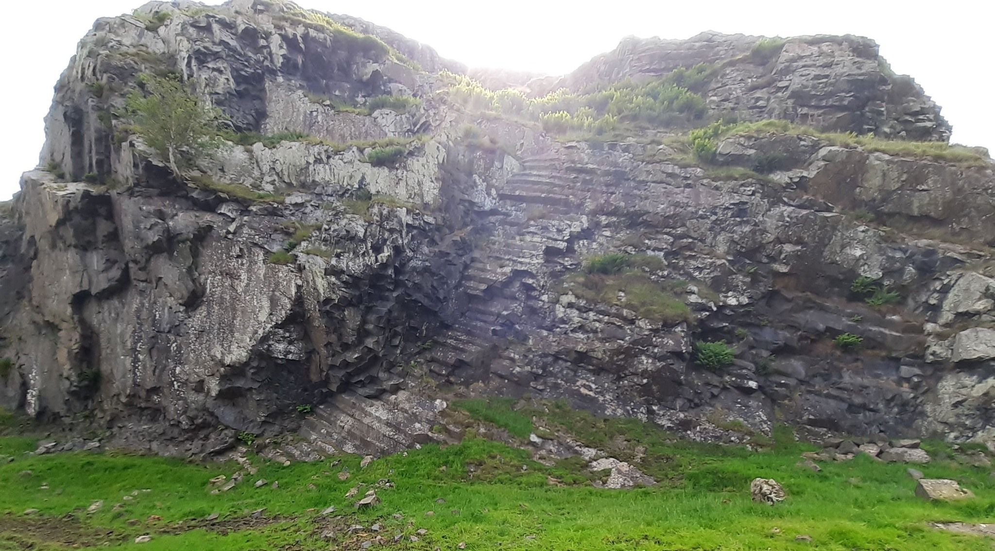 Rock
faces on Dunglass
|
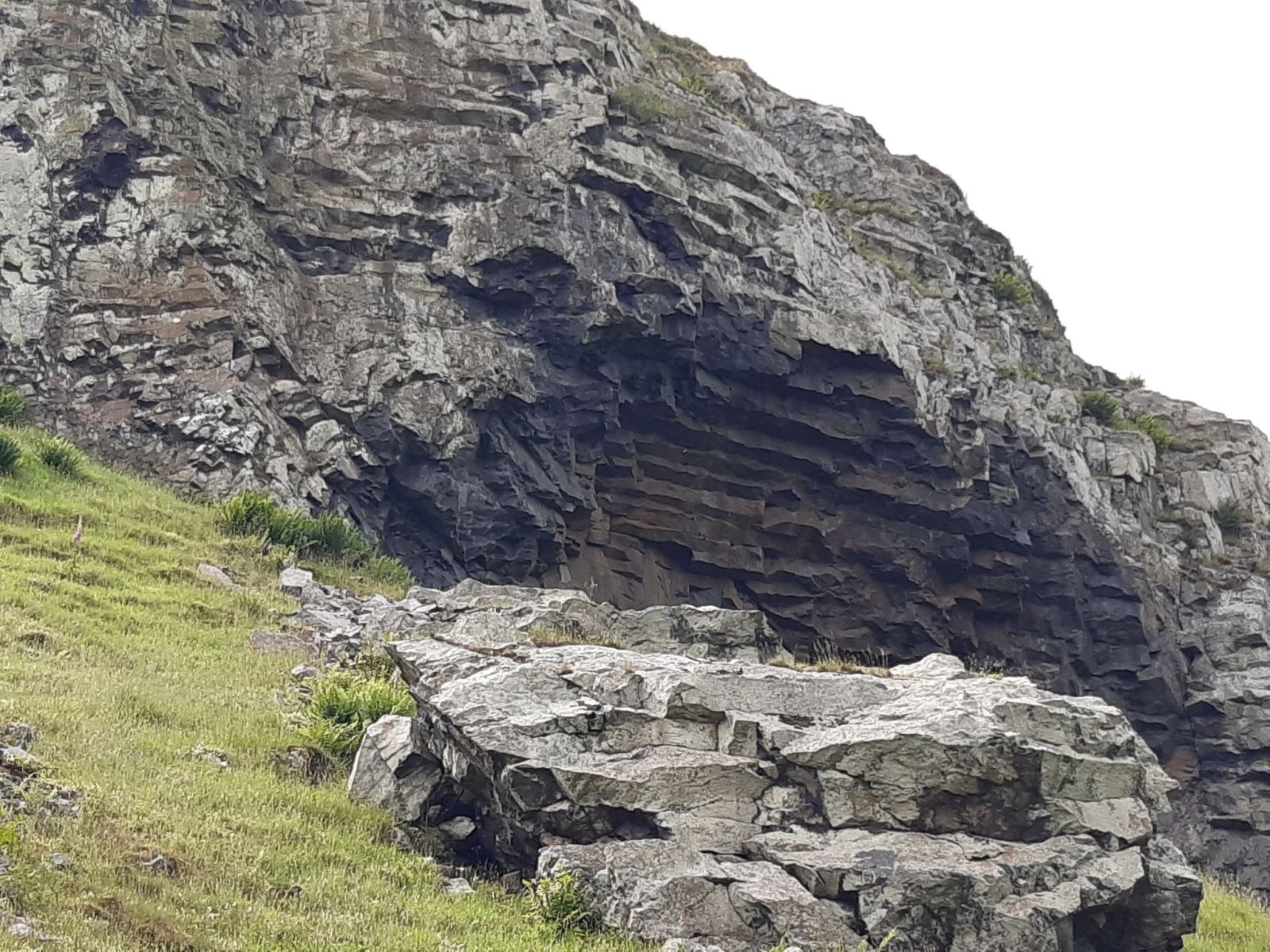 Rock
formations on Dunglass
|
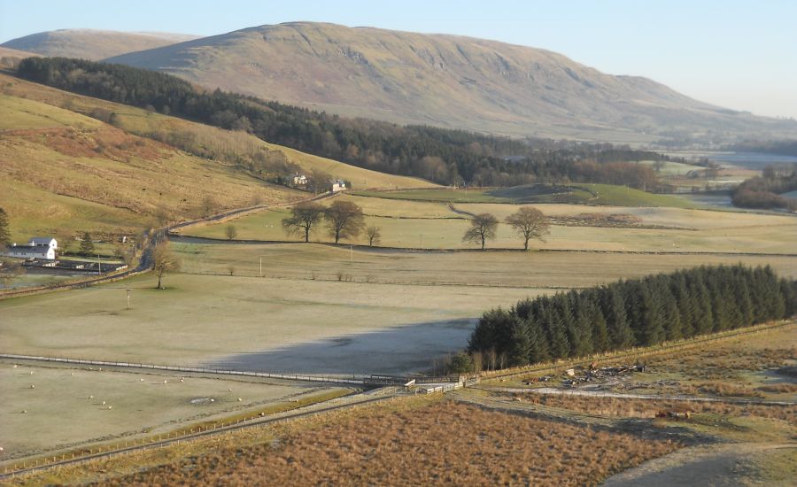
 Dunglass
|
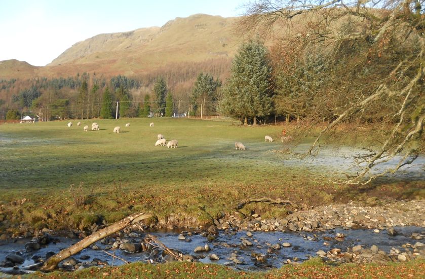
 Highland
Cow beneath Dunglass
|
 Dunglass
|
 Dunglass
|
 Dunglass
|
 Dunglass
|
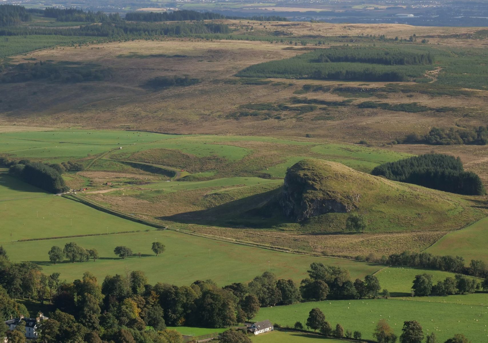 Dunglass
|
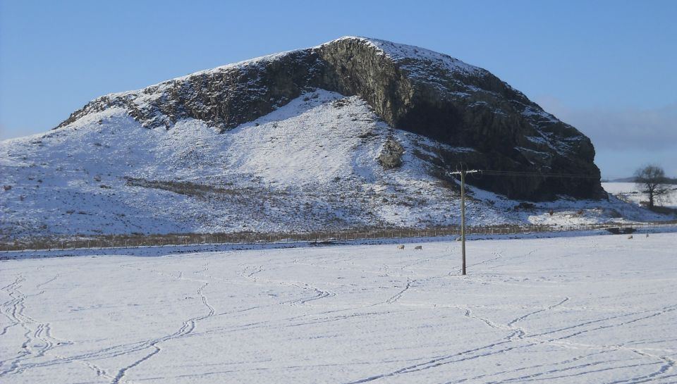 Dunglass
in winter
|
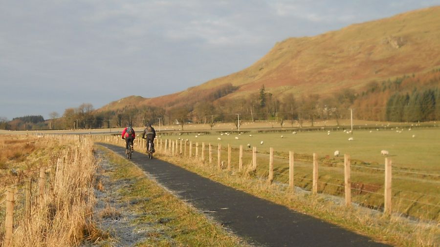 |
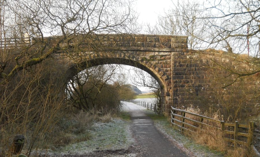 Bridge
over the Strathkelvin Railway Path |
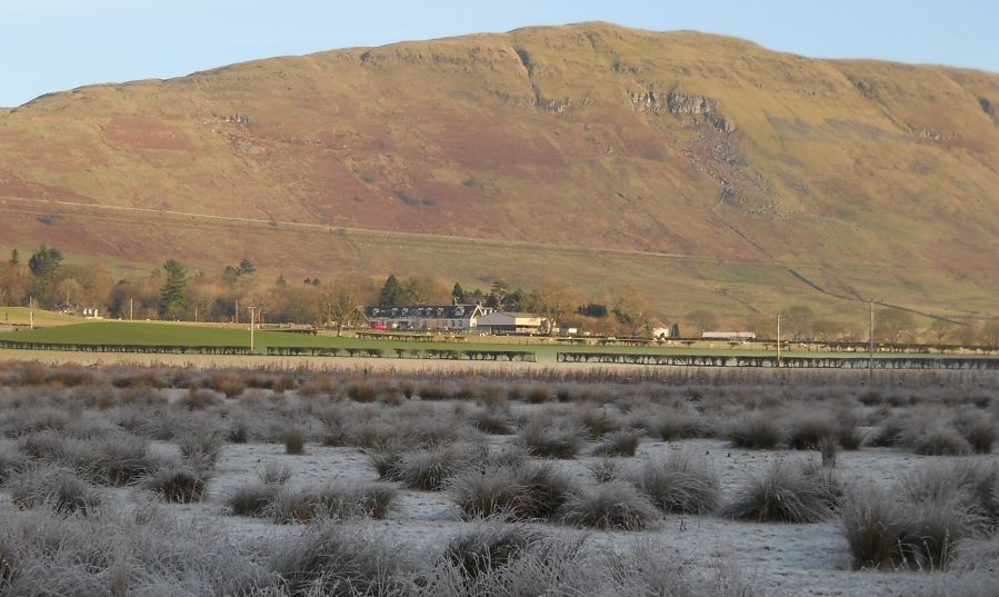 |
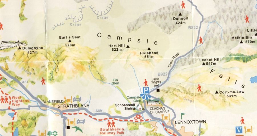
 Campsie Fells
above the High Kirk in Lennoxtown from the Strathkelvin Railway Path Between Clachan of Campsie and Lennoxtown the route follows the Thomas Muir Trail |
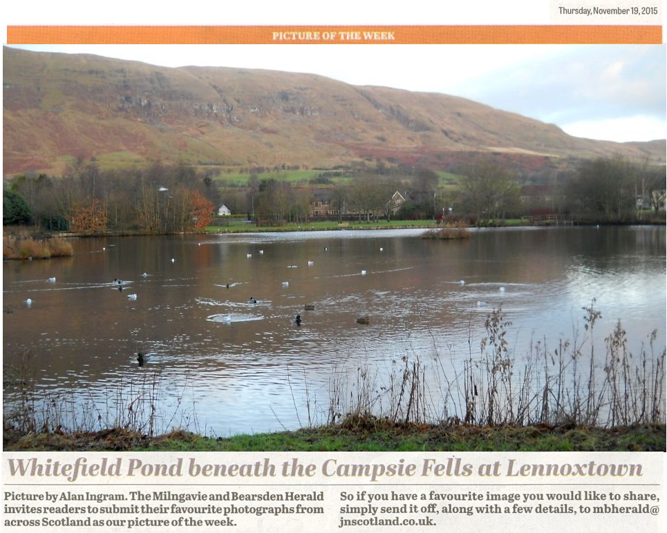 Campsie Fells above
Whitefield Pond
in Lennoxtown Whitefield
Pond was constructed
in the 1800s
to supply clean water to the Lennox Mill Printworks. The pond is home to many waterbirds and other wildlife. |
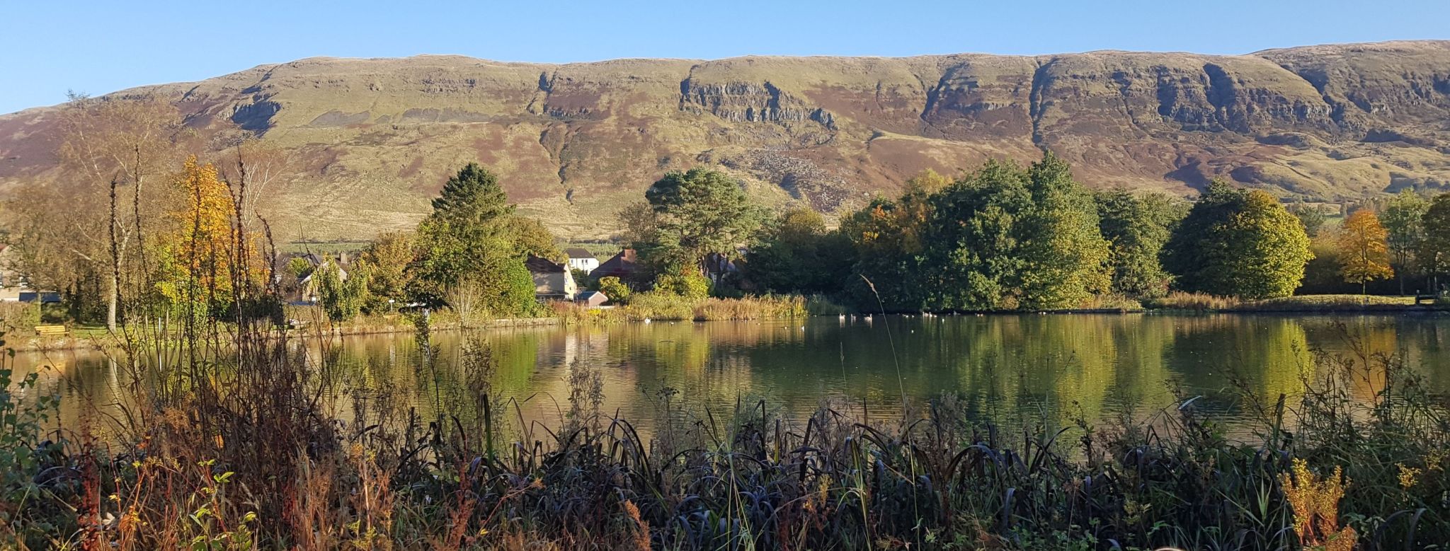 Campsie Fells beyond
Whitefield
Pond
in Lennoxtown |
 Whitefield
Pond
in Lennoxtown |
 |
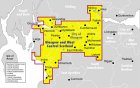
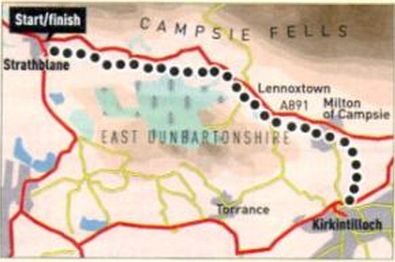 Route
Map of the Strathkelvin
Railway Path
|
STRATHBLANE TO LENNOXTOWN WALK - ROUTE DESCRIPTION:
STRATHKELVIN RAILWAY PATH - ROUTE DESCRIPTION:
 ::
Lennoxtown
Gallery
::
Lennoxtown
Gallery  :: Campsie
Fells
:: Campsie
Fells 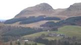
Glencoe | Ben Nevis | Knoydart | Isle of Skye | Isle of Arran
The Eastern Highlands | The Central Highlands | The Southern Highlands | The NW Highlands