  |
Southern HighlandsDumyat in the Ochil Hills |
  |
| |
Southern HighlandsDumyat in the Ochil Hills |
|
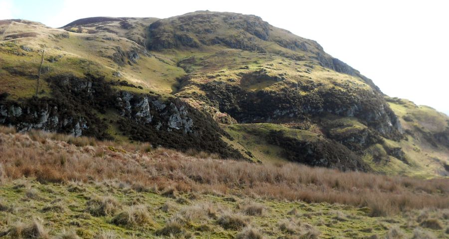
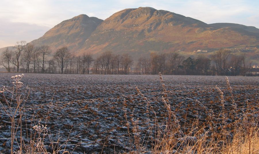
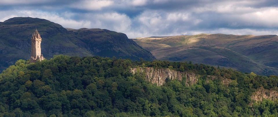
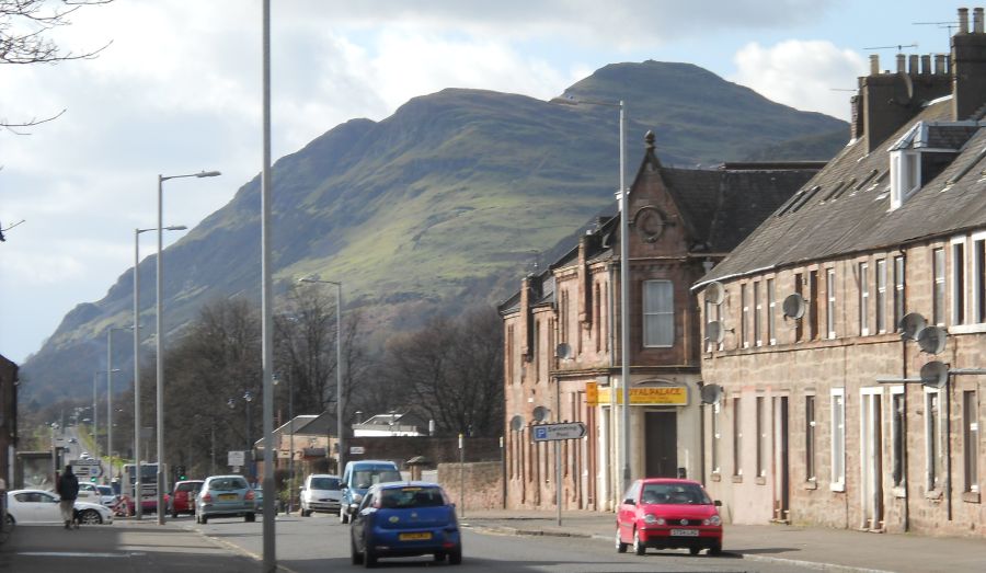 Dumyat
in the Ochil Hills
from Alva |
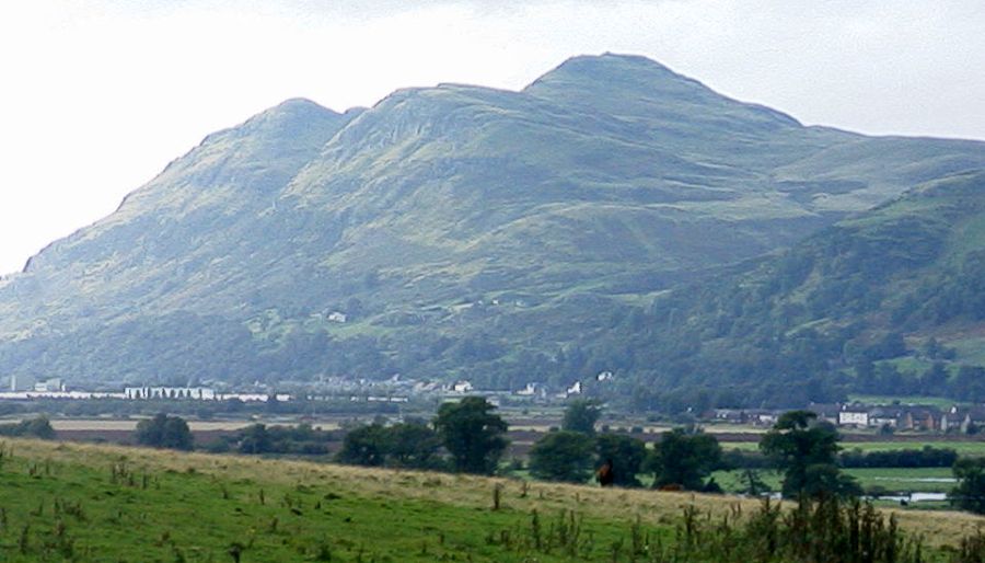
 Dumyat
in the Ochil Hills
|
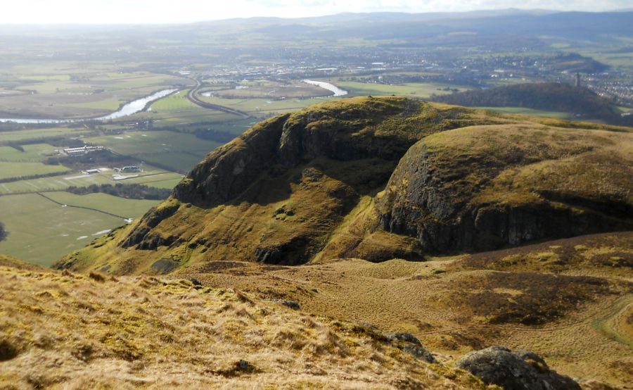
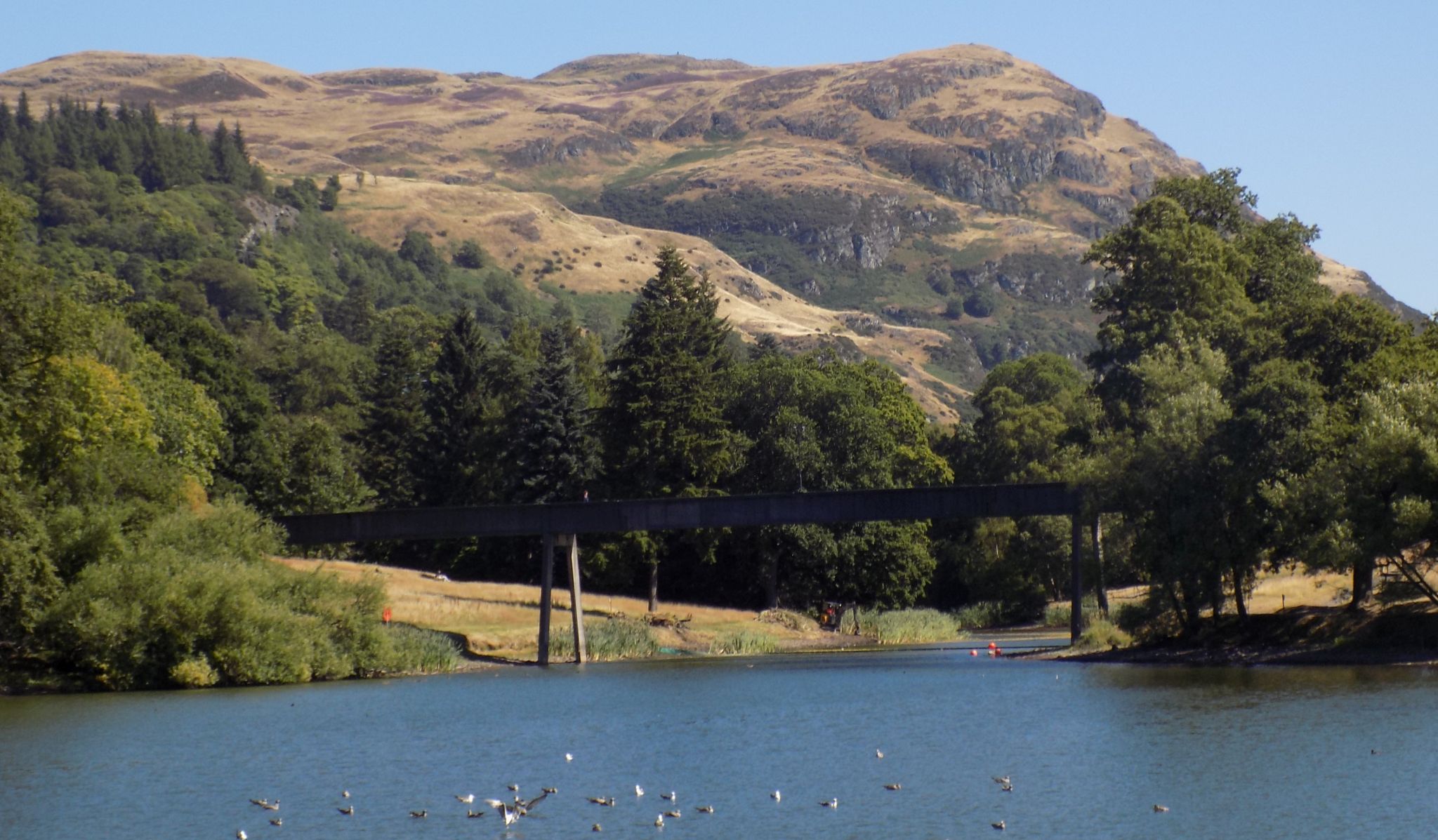
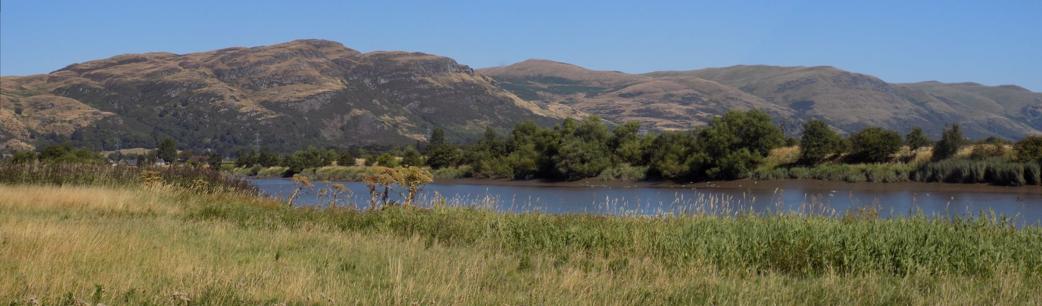
 Gargunnock
Hills
and River Forth on ascent of Dumyat |
 |
 |
 |
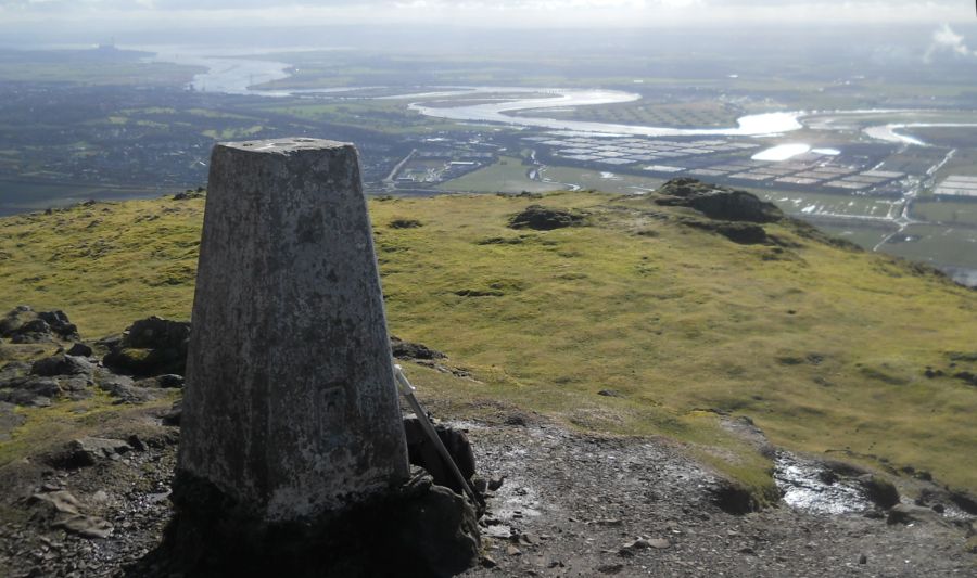 River
Forth
from trig point on Dumyat ( 1371ft, 418m ) |
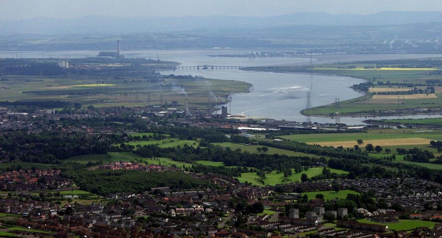 Kincardine
Bridge over River
Forth
from Dumyat |
 |
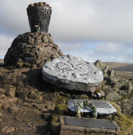
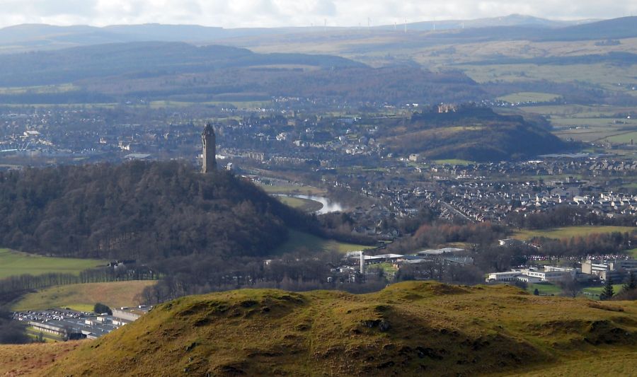
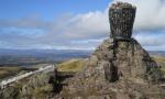
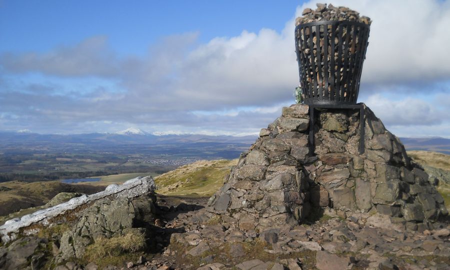 Cairn
and Beacon
on Dumyat |
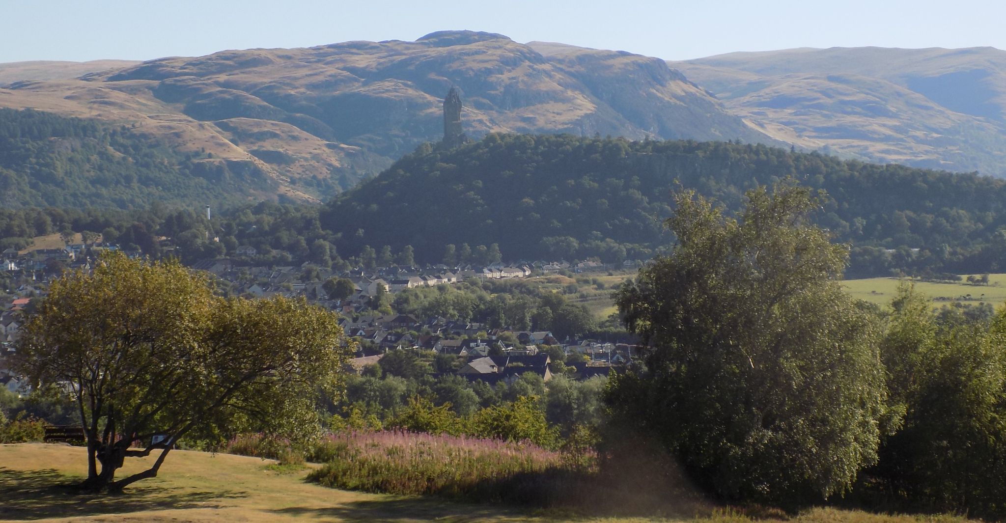
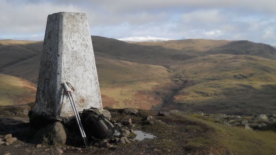
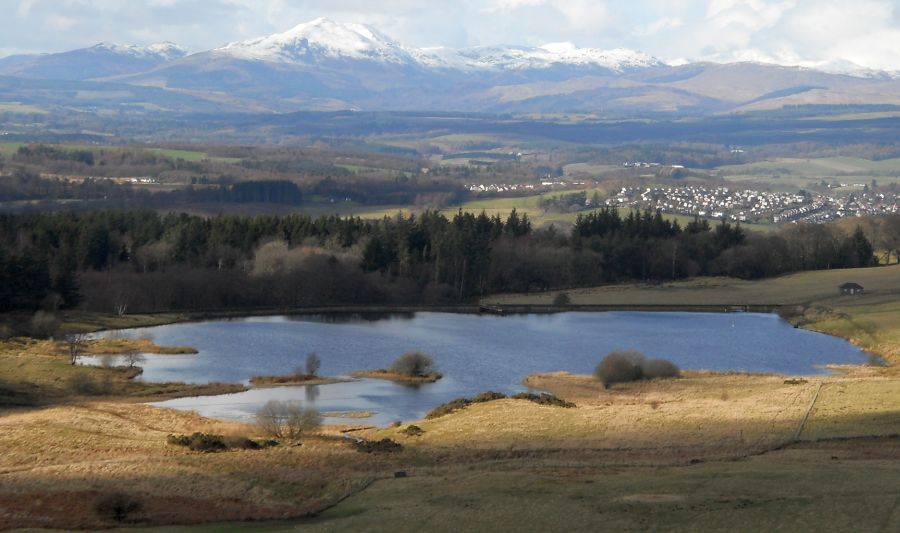 Ben
Lomond and Cocksburn Reservoir
on descent from Dumyat |
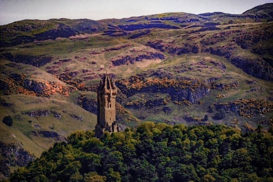
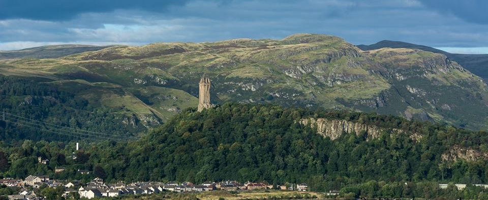
 Dumyat
( 1371ft, 418m )
in the Ochil Hills |
 Dumyat in
the Ochil
Hills
|
 |
 Dumyat and
the Ochil
Hills
|
 |
 |
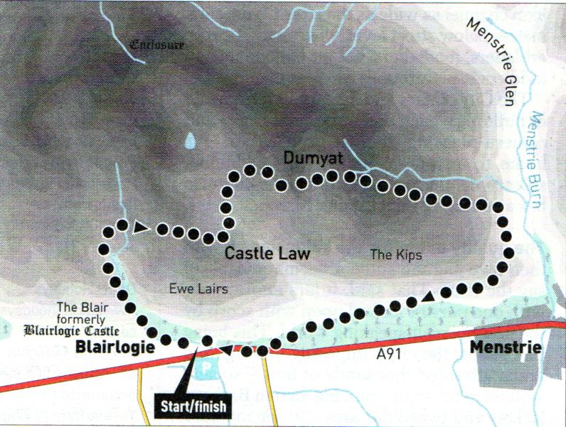
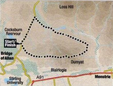 Route
Map for
Dumyat
in the Ochil Hills |
DUMYAT - ROUTE DESCRIPTION:
 Route
Map for
Dumyat
in the Ochil Hills |
DUMYAT - ROUTE DESCRIPTION 2:
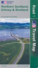
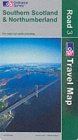
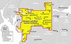
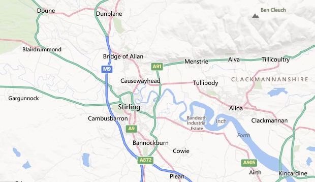 Location
Map for Stirling
and the Ochil Hills |
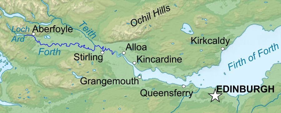 Map of
the River Forth
|
Glencoe | Ben Nevis | Knoydart | Isle of Skye | Isle of Arran
The Eastern Highlands | The Central Highlands | The Southern Highlands | The NW Highlands