  |
West Highland WayKhyber Pass |
  |
| |
West Highland WayKhyber Pass |
|
Photographs
of the West Highland Way
from its starting point in Milngavie Town Centre
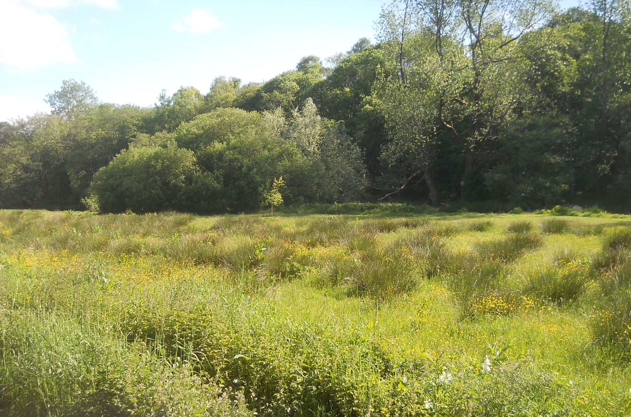
alongside the Allander River, across Mugdock Moor
and through Mugdock Country Park
to the Craigallian road bridge at the Khyber Pass.
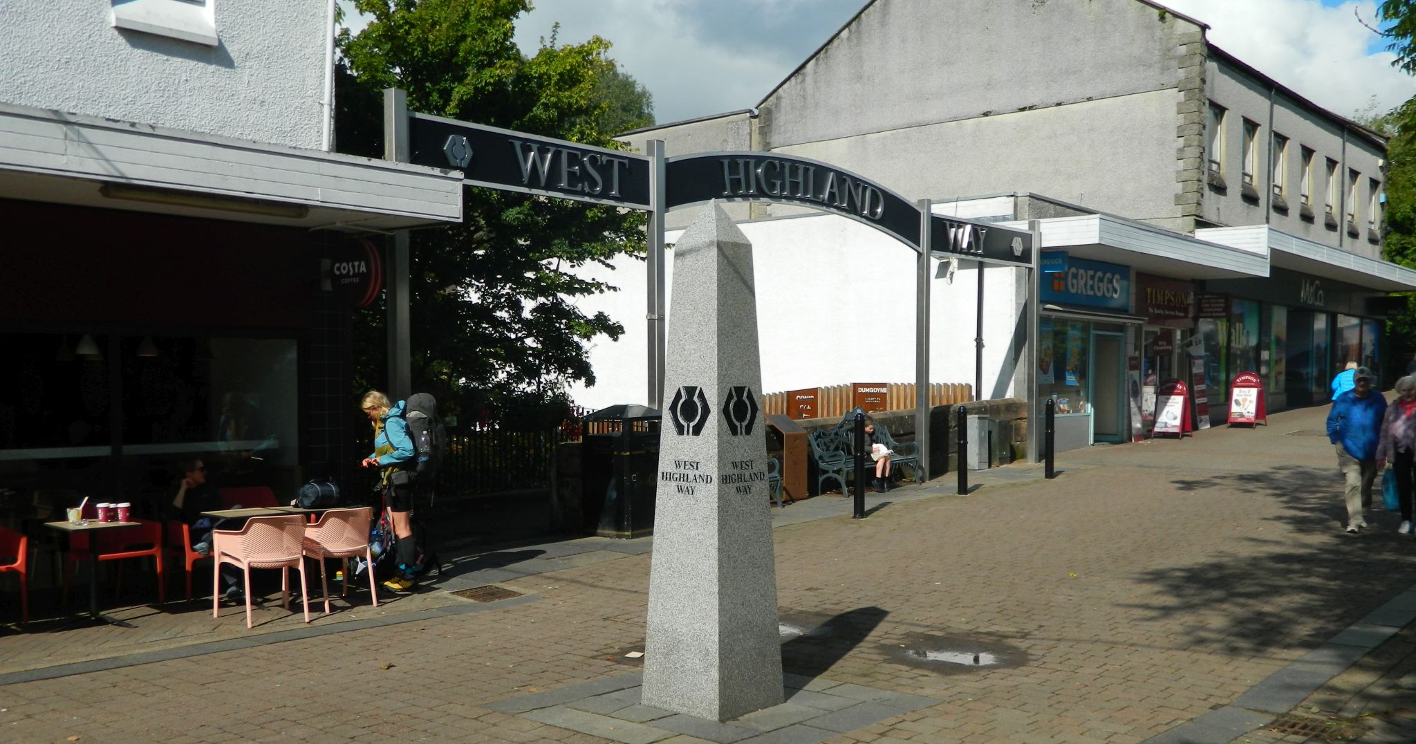 Start
of West Highland
Way in Milngavie
|
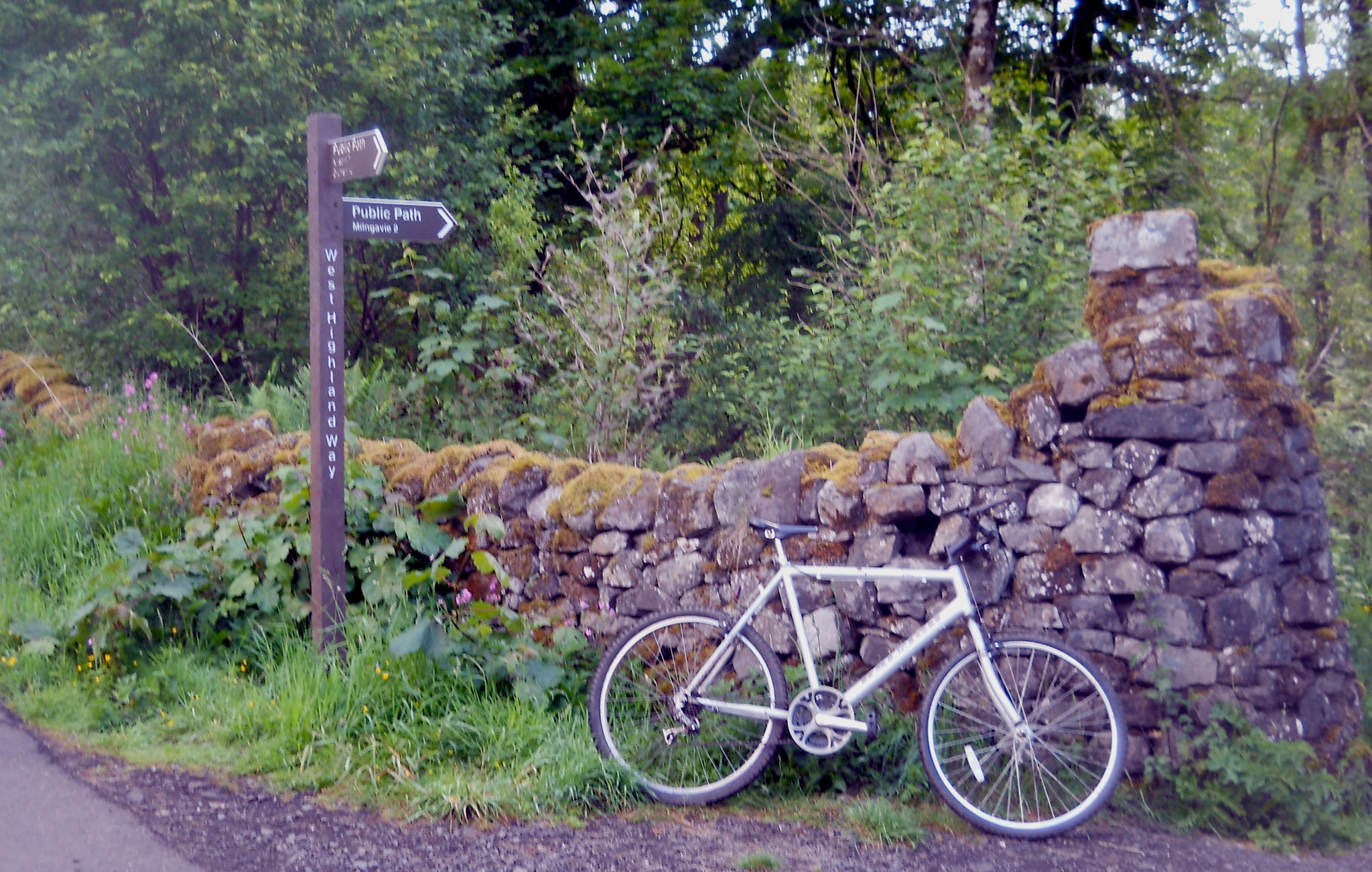
 West Highland
Way leaving Milngavie
|
 Pond
at Milngavie Library
|
 West Highland
Way leaving Milngavie
|
 West Highland Way
alongside Allander River |
 West Highland Way
alongside Allander River |
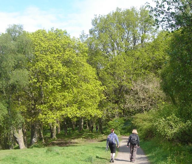
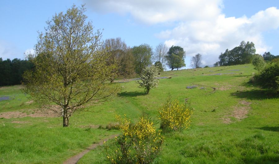 West Highland Way
across Mugdock Moor |
 |
 |
 |
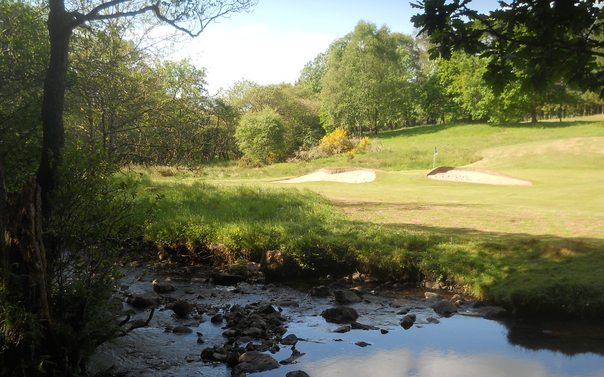 Milngavie
Golf Club
from Mugdock Country Park |
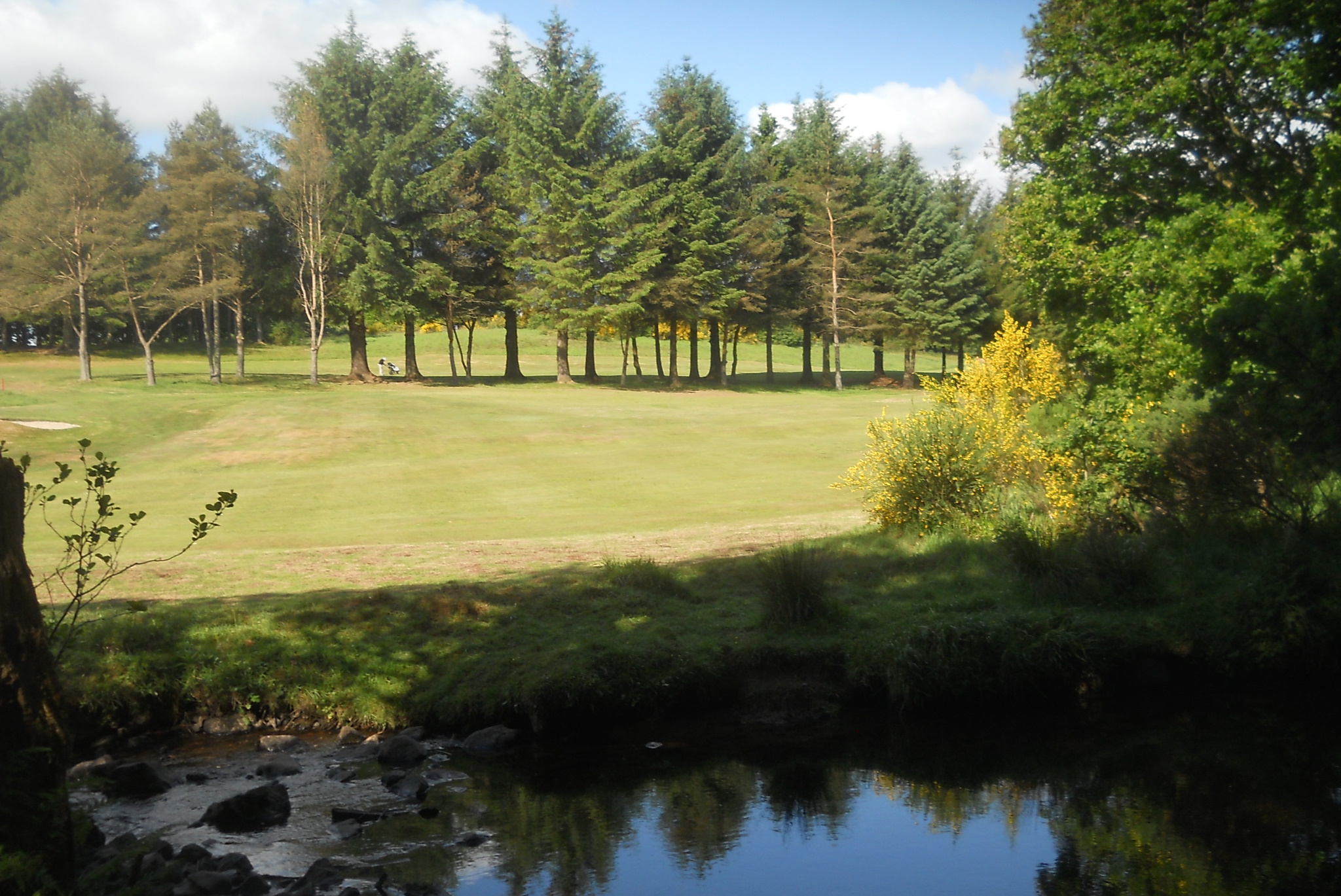 Milngavie
Golf Club
from Mugdock Country Park |
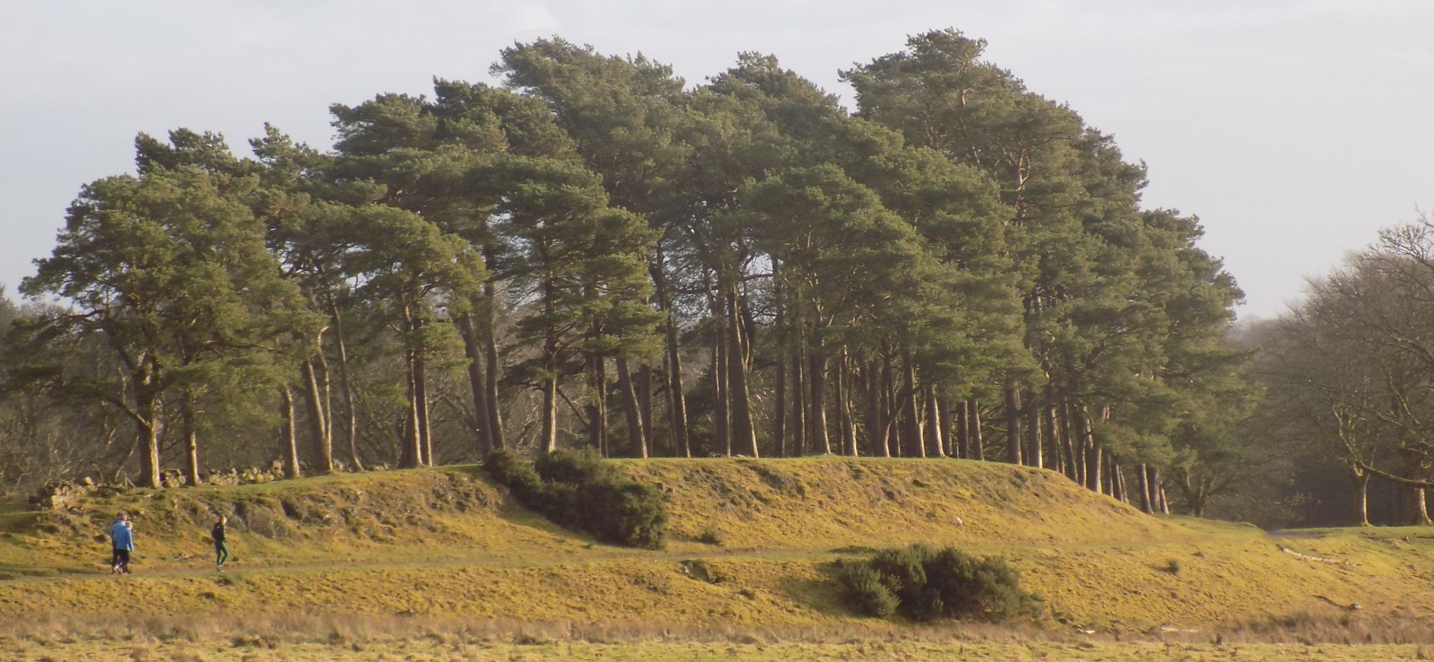 Scots
Pine Trees
in Mugdock Country Park |
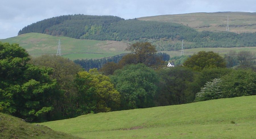
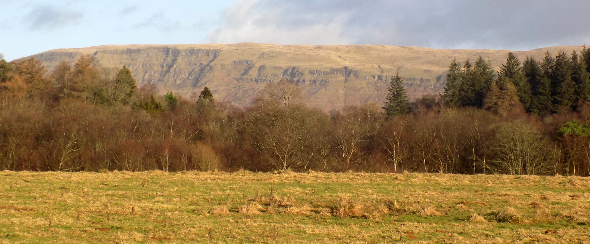 Campsie
Fells from
from Mugdock Country Park |
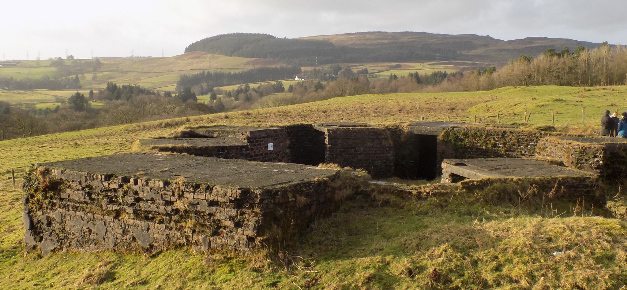 |
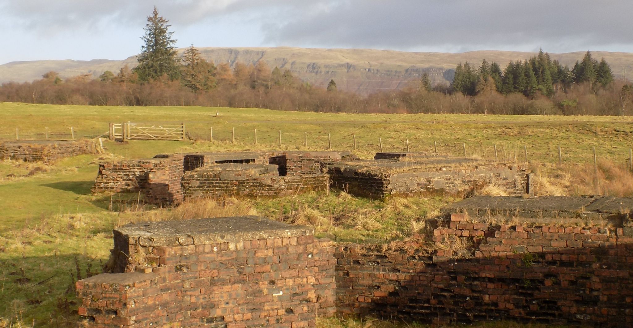
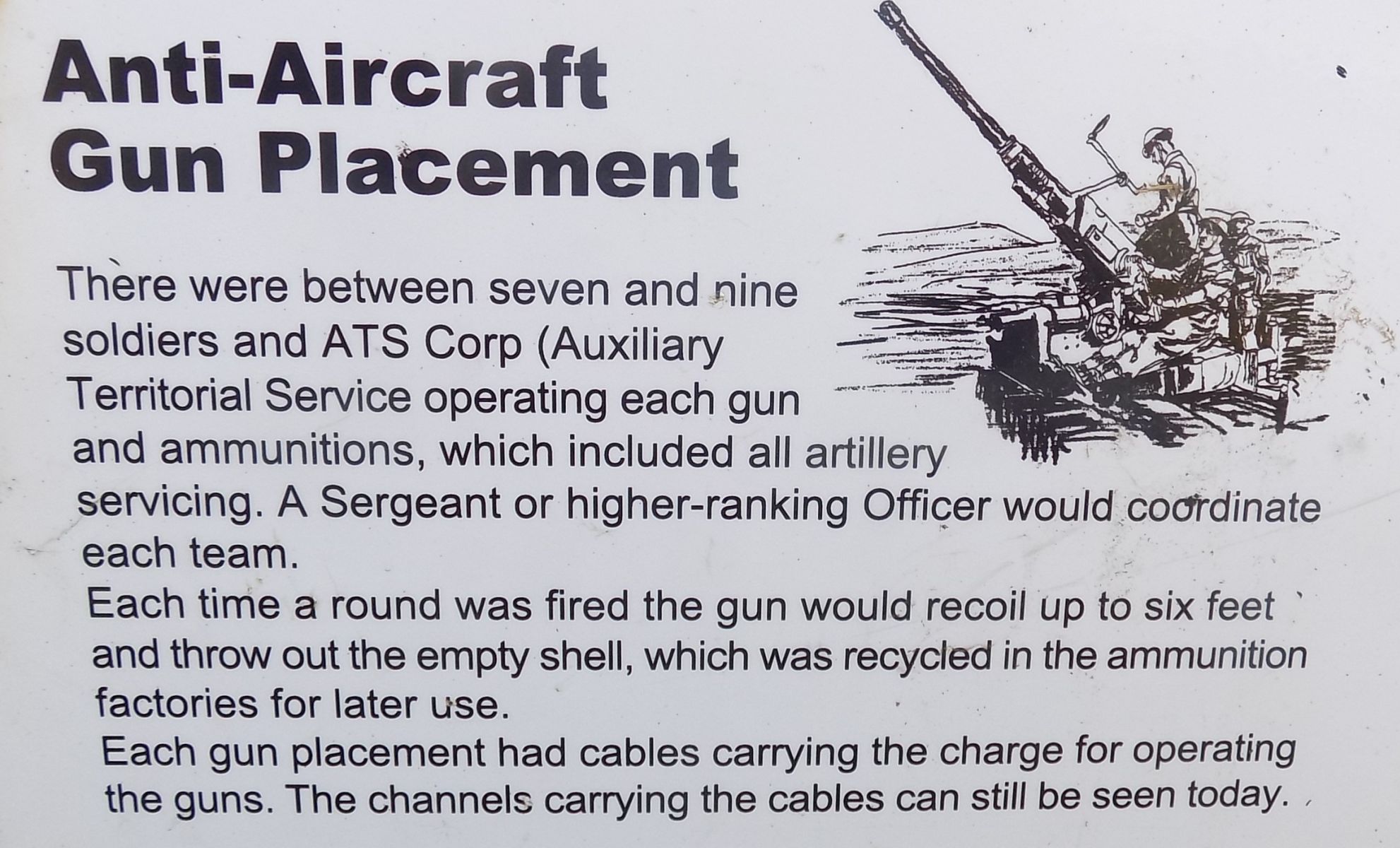 A/A
gun site
in Mugdock Country Park The gun sites were constructed during WWII in 1942 after the Clydebank Blitz and formed part of the Clyde Basin anti-aircraft defence. There are four placements for 3.7” guns. The command post would have contained the fire-control instruments including a predictor, height finder and radar equipment. |
 |
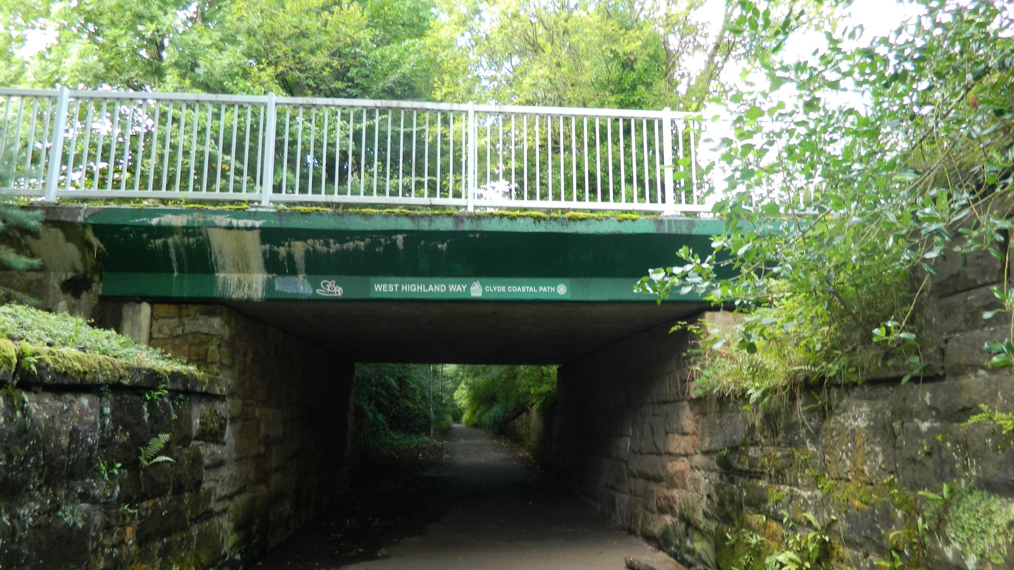
 Exit
at Khyber Pass
from Mugdock Country Park |
 |
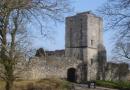
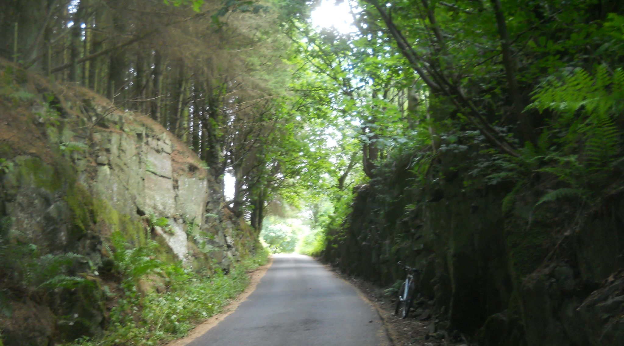 Khyber
Pass
|
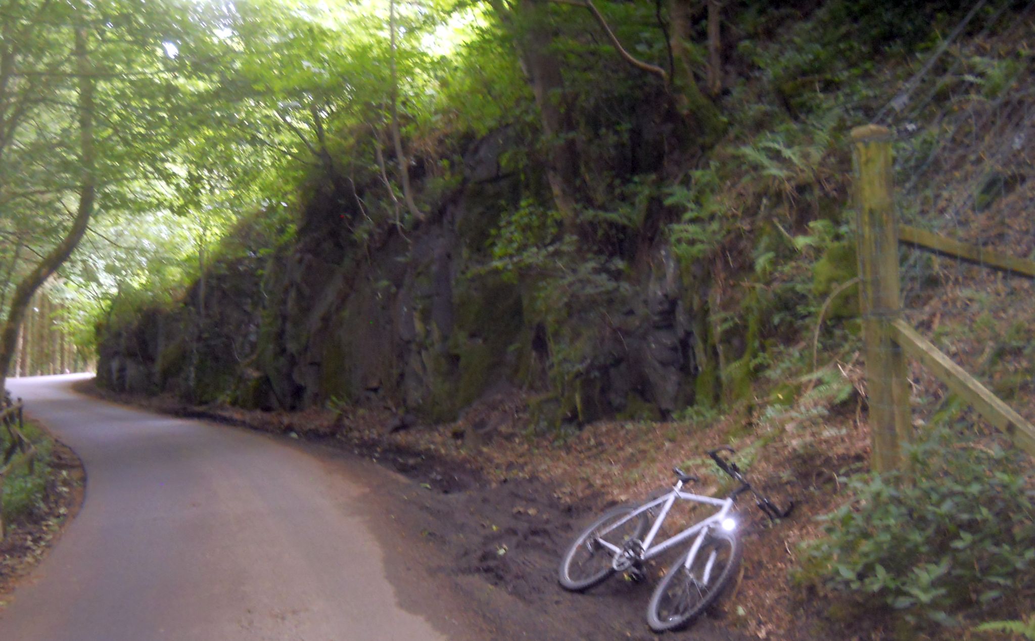 Khyber
Pass
|
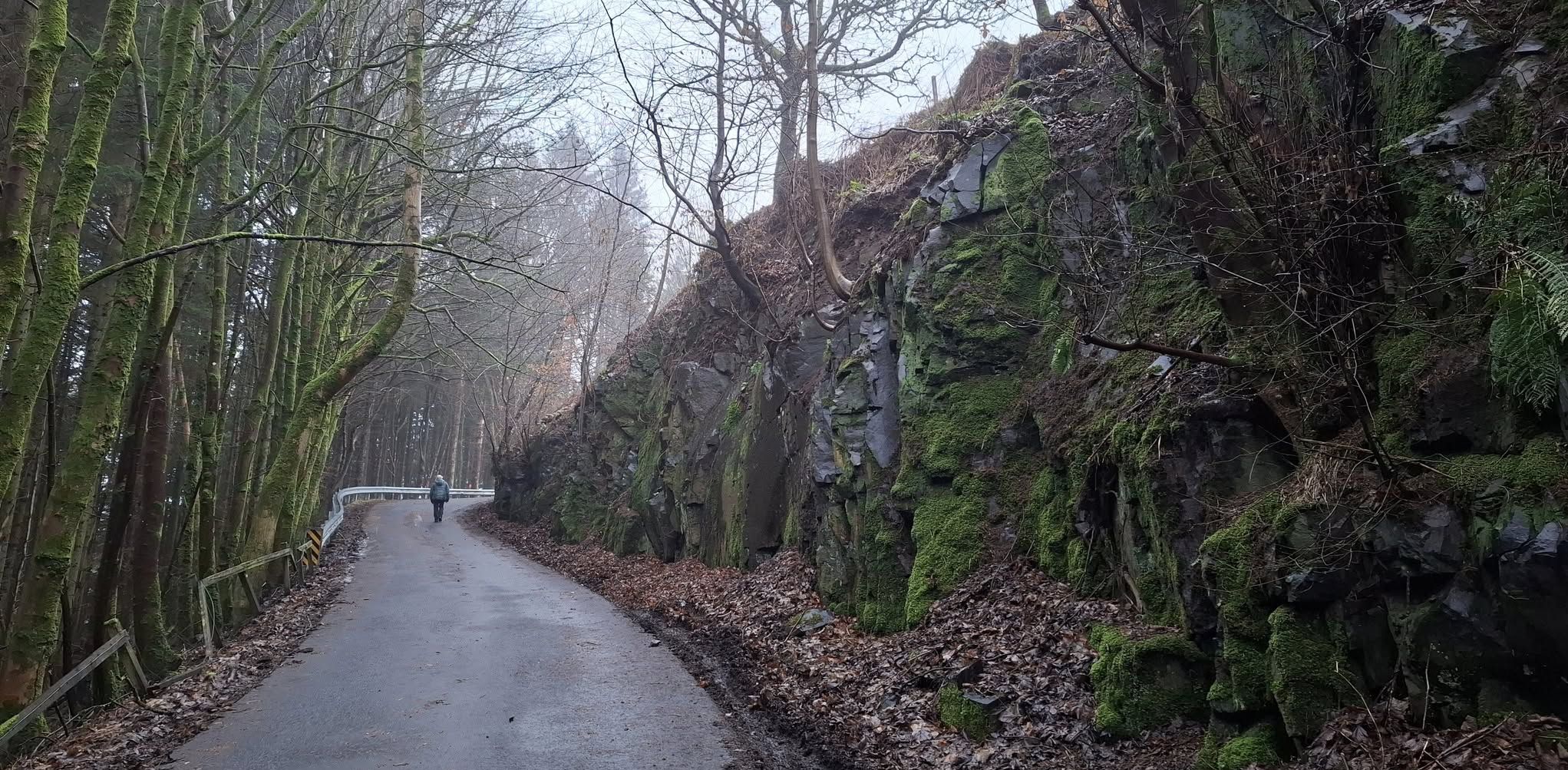 Khyber
Pass
|
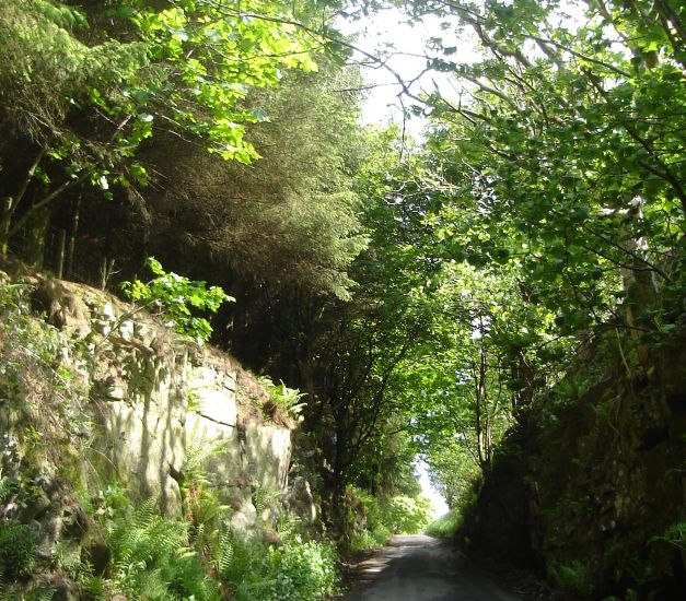 Khyber
Pass
|
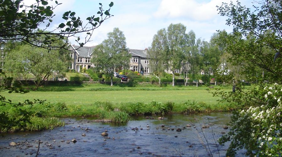
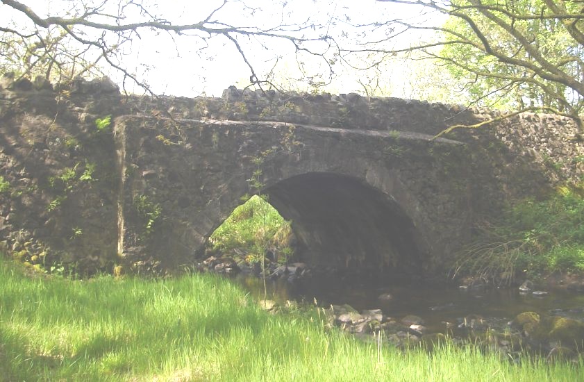 Craigallian
Bridge across
Allander River
at the Khyber Pass |
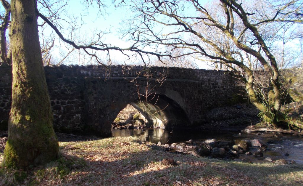 Craigallian
Bridge across
Allander River
at the Khyber Pass |
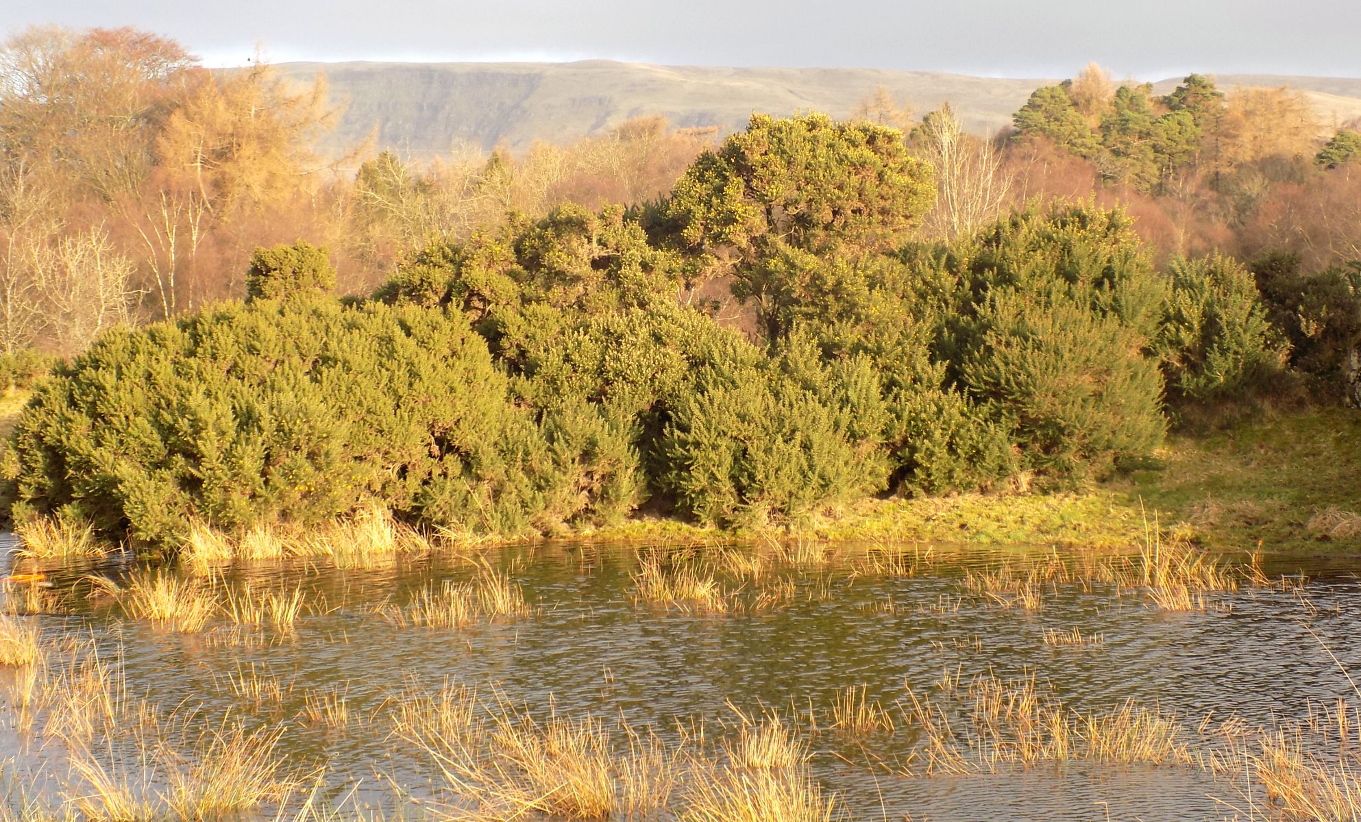
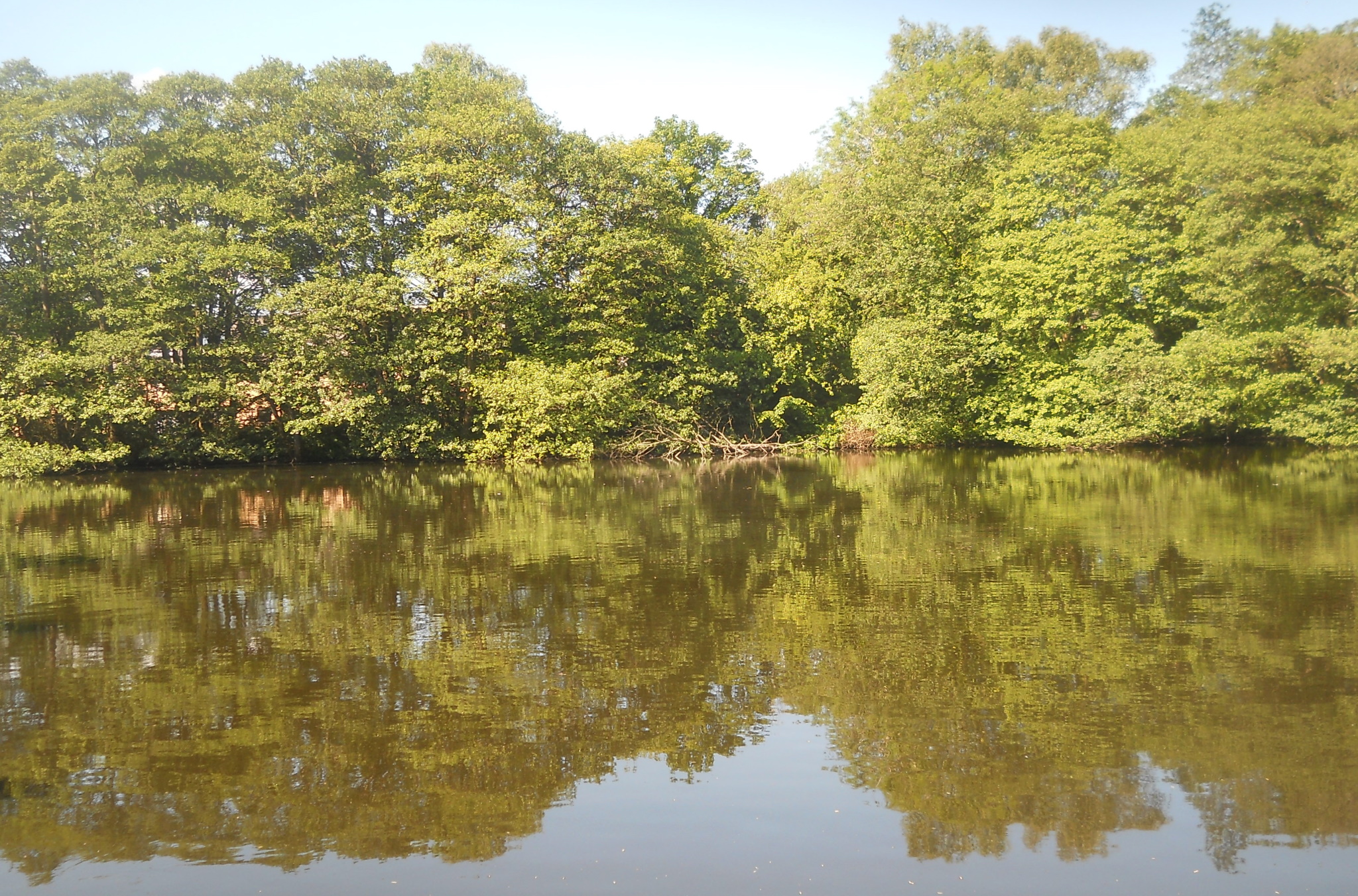
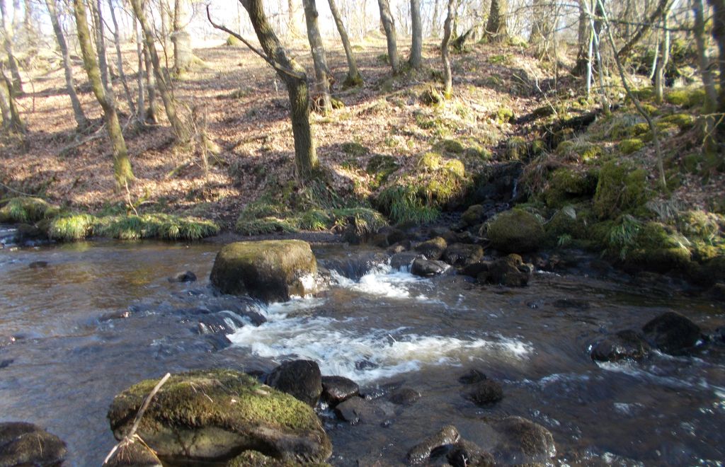 Allander
River
at the Khyber Pass |
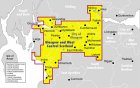
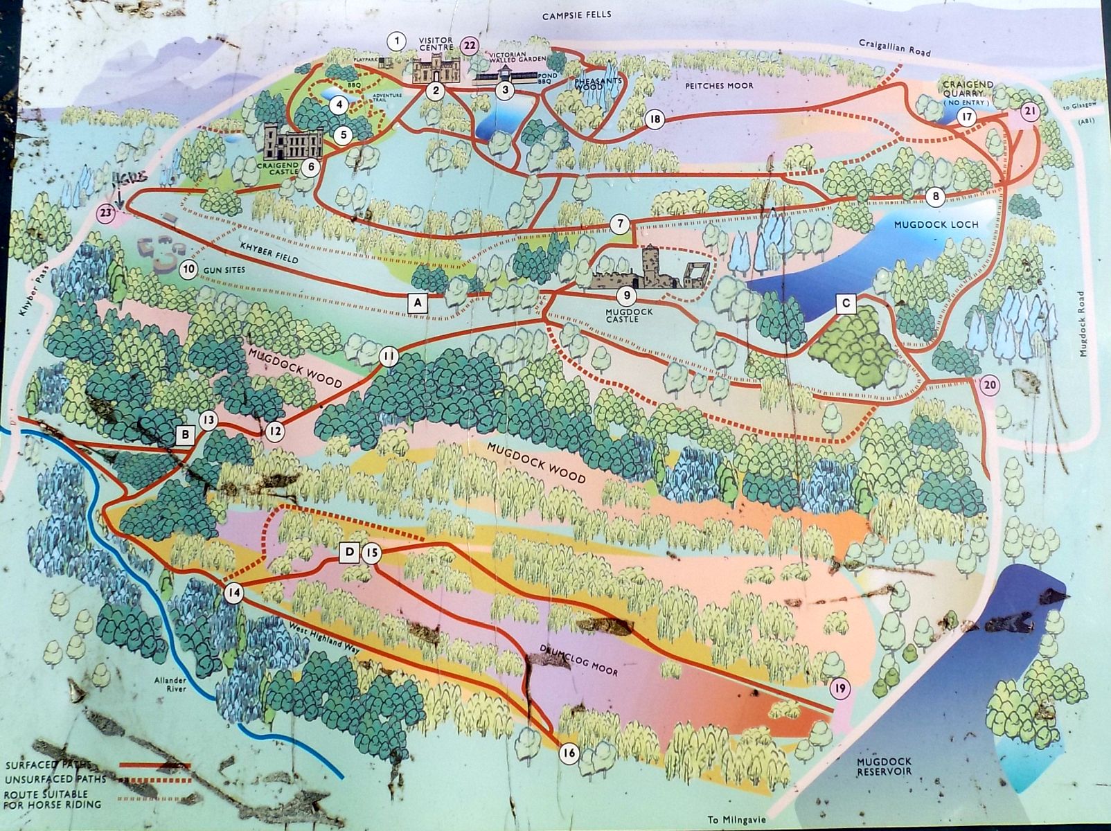 Map of
Mugdock
Country Park
|
 Route
Map of
circular walk
along the West Highland Way from Milngavie |
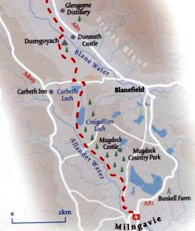 Route
Map of the West Highland Way
from Milngavie to Dumgoyne |
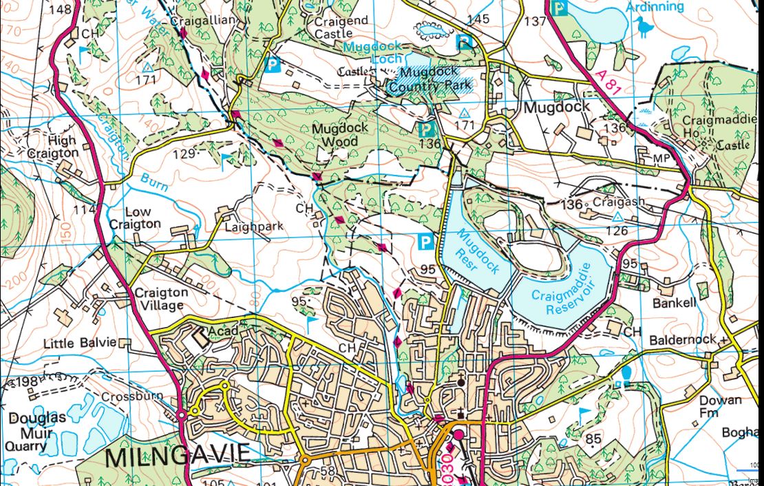 Map of
the West Highland Way
from Milngavie to Khyber Pass |
DRUMCLOG WOOD WALK - ROUTE DESCRIPTION:
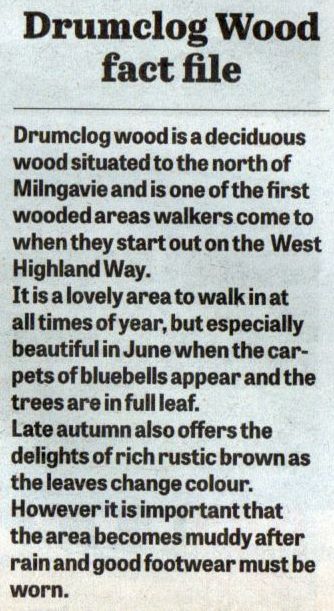 Drumclog
Wood
|
 ::
West
Highland Way
::
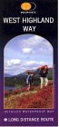
West
Highland Way 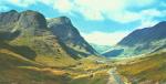 :: Dumgoyne
& Campsie Fells
:: Dumgoyne
& Campsie Fells 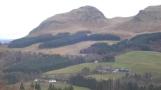
Glencoe | Ben Nevis | Knoydart | Isle of Skye | Isle of Arran
The Eastern Highlands | The Central Highlands | The Southern Highlands | The NW Highlands


Google
Analytics